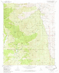
1981 Map of Palm View Peak
USGS Topo · Published 1982About this map
The Agua Caliente Indian Reservation dominates this 1981 survey, spanning a landscape of steep canyons and high desert ridges where the San Jacinto Mountains meet the Santa Rosa Mountains. The Pacific Crest National Scenic Trail winds through the western half of the quadrangle, passing near Palm View Peak and Fobes Saddle. A network of high-altitude springs, such as Agua Fuerte Spring and Dos Palmas Spring, indicates the critical water sources that dictated movement through this arid terrain.
Find a feature on this map
89 named features on this map. Tap any name to fly to it.
Don’t see what you’re looking for? This feature index may not catch every label — zoom into the map to look around manually.
Map Details
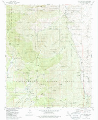
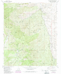
Editions of this 1981 Palm View Peak Map
3 editions found
Other maps of this area

1901 · Southern California Sheet No. 1
USGS Topo · 1:250,000

1901 · San Jacinto
USGS Topo · 1:125,000

1904 · Indio
USGS Topo · 1:125,000

1904 · Southern California Sheet No. 1
USGS Topo · 1:250,000

1940 · Palm Springs
USGS Topo · 1:62,500

1940 · Hemet Reservoir
USGS Topo · 1:62,500

1941 · Toro Peak
USGS Topo · 1:62,500

1941 · Edom
USGS Topo · 1:62,500

1942 · Hemet Reservoir
USGS Topo · 1:62,500

1944 · Toro peak
USGS Topo · 1:62,500