Loading...
Loading map...2022 Map of Palmer
USGS Topo · Published 2022About this map
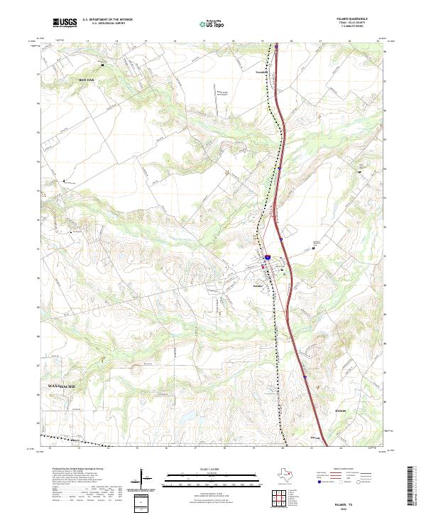
Palmer sits at the heart of this Ellis County landscape, where the Interstate 45 corridor serves as the primary spine for modern transit and development between Red Oak and Ennis. The terrain is defined by the branching tributaries of the Trinity River basin, including Red Oak Creek, Brushy Creek, and Cottonwood Creek, which have historically shaped the agricultural and settlement patterns of the region.
Find a feature on this map
101 named features on this map. Tap any name to fly to it.
Don’t see what you’re looking for? This feature index may not catch every label — zoom into the map to look around manually.
Map Details
Date Portrayed2022
Date Published2022
PublisherU.S. Geological Survey
Map TypeTopographic
Scale1:24000
Physical Dimensions24 x 29 inches
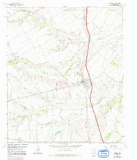
Editions of this 2022 Palmer Map
This is the sole edition of this map. No revisions or reprints were ever made.
Historical Maps of Trumbull Through Time
Featured Locations
Source Details
SourceU.S. Geological Survey
CopyrightPublic Domain