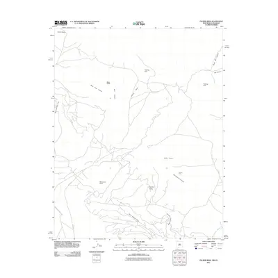
2011 Map of Palmer Mesa
USGS Topo · Published 2011About this map
Palmer Mesa and the surrounding high desert of the Shiprock Agency define this landscape of deep canyons and seasonal drainages. In the south, the industrial presence of the Many Rocks Gallup Oil Field stands out against the natural topography of Burnt Squash Draw and Sunshine Spring Draw. Navigation through this territory is marked by legacy infrastructure, including Indian Service Route 5031, which connects the rugged interior to distant centers.
Find a feature on this map
22 named features on this map. Tap any name to fly to it.
Don’t see what you’re looking for? This feature index may not catch every label — zoom into the map to look around manually.
Map Details
Editions of this 2011 Palmer Mesa Map
This is the sole edition of this map. No revisions or reprints were ever made.
Other maps of this area

1889 · Chaco
USGS Topo · 1:250,000

1892 · Chaco
USGS Topo · 1:250,000

1912 · Soda Canyon
USGS Topo · 1:62,500

1915 · Soda Canyon
USGS Topo · 1:62,500

1934 · Chimney Rock
USGS Topo · 1:62,500

1936 · Chimney Rock
USGS Topo · 1:62,500

1954 · Shiprock
USGS Topo · 1:250,000

1956 · Cortez
USGS Topo · 1:250,000

1958 · Cortez
USGS Topo · 1:250,000

1958 · Shiprock
USGS Topo · 1:250,000