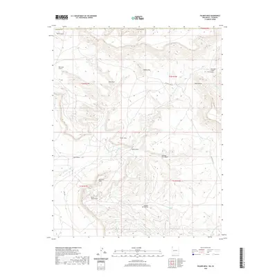
2020 Map of Palmer Mesa
USGS Topo · Published 2020About this map
Palmer Mesa defines this high desert landscape within the Shiprock Agency region of San Juan County. This modern survey illustrates a complex network of geological formations and seasonal drainages, where ancient features like Monument Rocks stand alongside significant landmarks such as Popping Rock and Thieving Rock. The drainage patterns are clearly delineated, showing how Salt Cr Wash and its various tributaries, including Burnt Squash Draw and Sunshine Spring Draw, have etched the terrain.
Find a feature on this map
26 named features on this map. Tap any name to fly to it.
Don’t see what you’re looking for? This feature index may not catch every label — zoom into the map to look around manually.
Map Details
Editions of this 2020 Palmer Mesa Map
This is the sole edition of this map. No revisions or reprints were ever made.
Other maps of this area

1889 · Chaco
USGS Topo · 1:250,000

1892 · Chaco
USGS Topo · 1:250,000

1912 · Soda Canyon
USGS Topo · 1:62,500

1915 · Soda Canyon
USGS Topo · 1:62,500

1934 · Chimney Rock
USGS Topo · 1:62,500

1936 · Chimney Rock
USGS Topo · 1:62,500

1954 · Shiprock
USGS Topo · 1:250,000

1956 · Cortez
USGS Topo · 1:250,000

1958 · Cortez
USGS Topo · 1:250,000

1958 · Shiprock
USGS Topo · 1:250,000