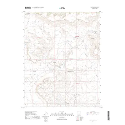
2023 Map of Palmer Mesa
USGS Topo · Published 2023About this map
Palmer Mesa defines the heart of this landscape in northwestern New Mexico, just below the Colorado state line. The terrain is characterized by a complex network of arroyos and canyons that drain into the Salt Creek Wash system. To the north, the plateau of Mesa Verde and distinctive landmarks like Popping Rock and Thieving Rock stand above the drainage basins.
Find a feature on this map
26 named features on this map. Tap any name to fly to it.
Don’t see what you’re looking for? This feature index may not catch every label — zoom into the map to look around manually.
Map Details
Editions of this 2023 Palmer Mesa Map
This is the sole edition of this map. No revisions or reprints were ever made.
Other maps of this area

1889 · Chaco
USGS Topo · 1:250,000

1892 · Chaco
USGS Topo · 1:250,000

1912 · Soda Canyon
USGS Topo · 1:62,500

1915 · Soda Canyon
USGS Topo · 1:62,500

1934 · Chimney Rock
USGS Topo · 1:62,500

1936 · Chimney Rock
USGS Topo · 1:62,500

1954 · Shiprock
USGS Topo · 1:250,000

1956 · Cortez
USGS Topo · 1:250,000

1958 · Cortez
USGS Topo · 1:250,000

1958 · Shiprock
USGS Topo · 1:250,000