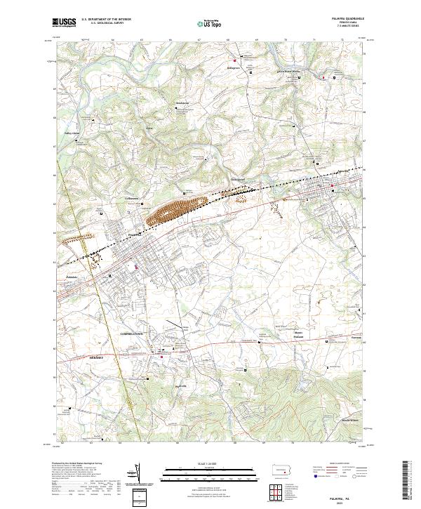
2023 Map of Palmyra
USGS Topo · Published 2023About this map
The corridor between Palmyra and Annville showcases a landscape defined by historic transportation routes and deep-seated religious communities. Following the course of Quittapahilla Creek, the map details a dense concentration of cemeteries and family burial grounds, such as the Blauch Family Graveyard and Nafzger Plot Cem, which reflect the early European settlement patterns of Lebanon County. The educational hub of Lebanon Valley College anchors the eastern edge of the sheet, while the town of Palmyra serves as a central point for the surrounding hamlets of Palmdale and Coffeetown.
Find a feature on this map
259 named features on this map. Tap any name to fly to it.
Don’t see what you’re looking for? This feature index may not catch every label — zoom into the map to look around manually.
Map Details
Editions of this 2023 Palmyra Map
This is the sole edition of this map. No revisions or reprints were ever made.
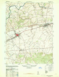
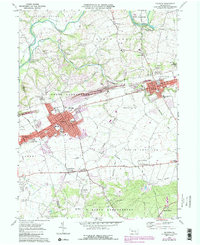
Historical Maps of Union Water Works Through Time
4 maps found
Featured Locations
- Annville, PA
- Palmyra, PA
- East Hanover Township, PA
- Campbelltown, South Londonderry Township
- Hershey, Derry Township