
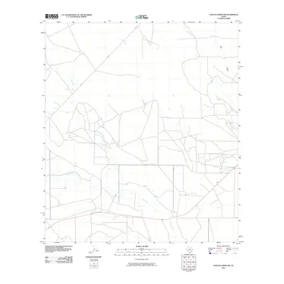
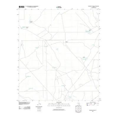
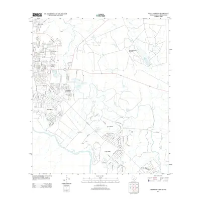
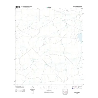
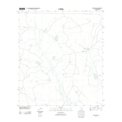
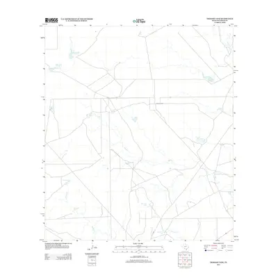
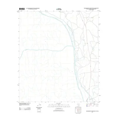
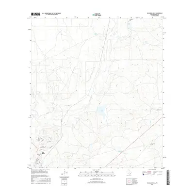
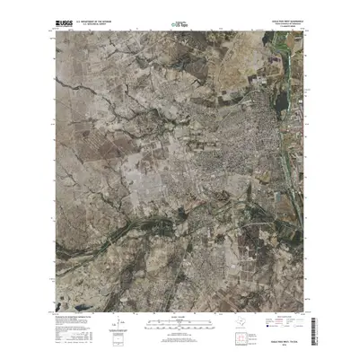
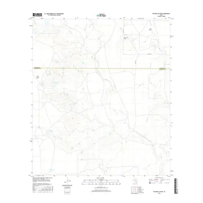
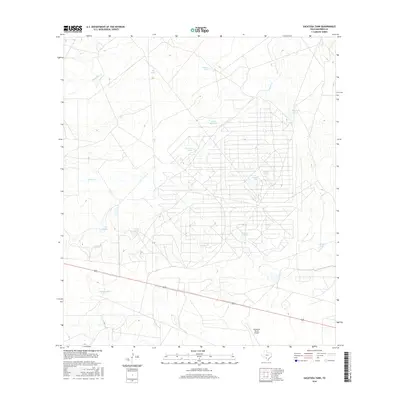
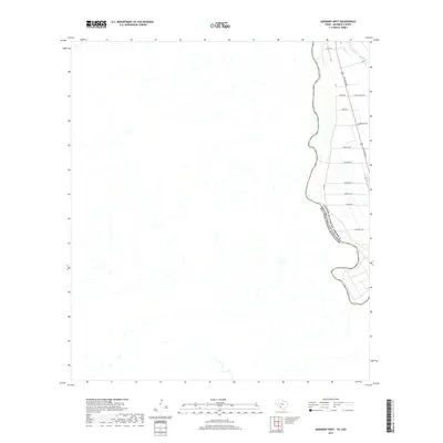
2022 Map of Paloma
USGS Topo · Published 2022About this map
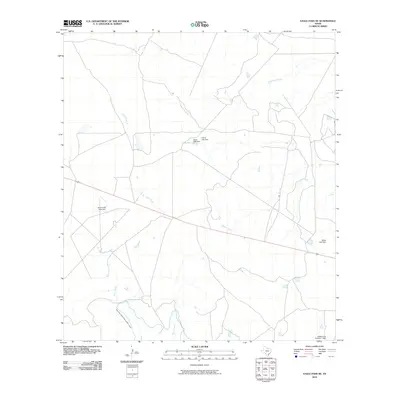
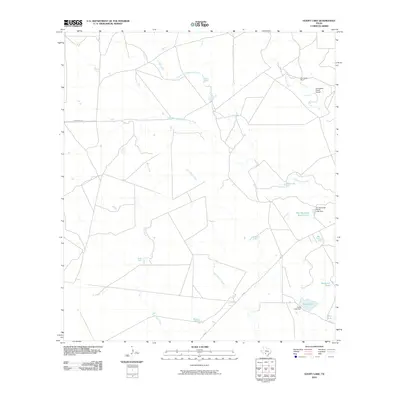
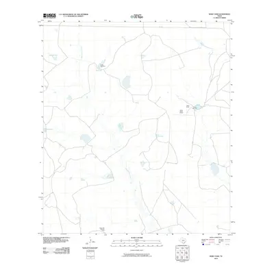
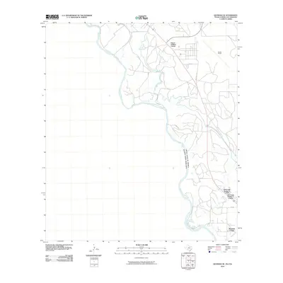
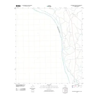
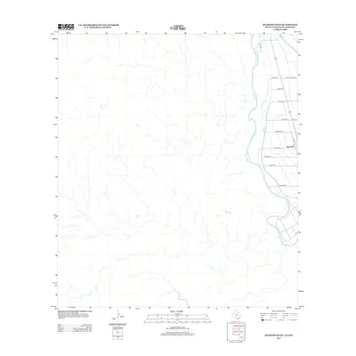
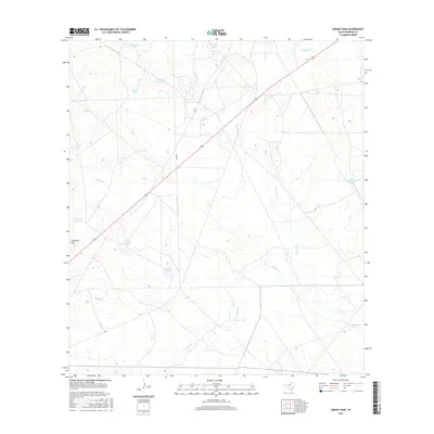
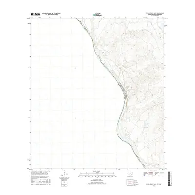
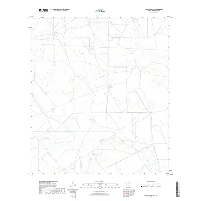
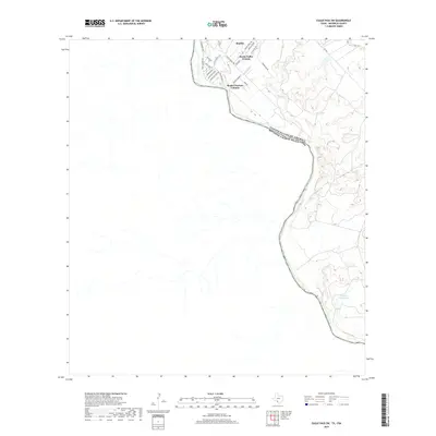
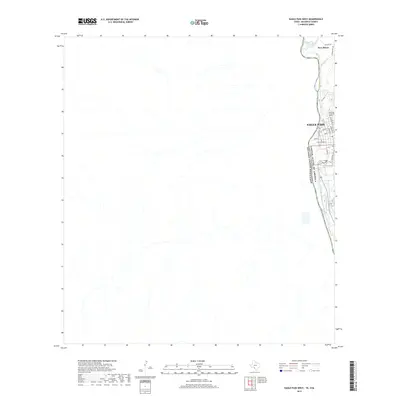
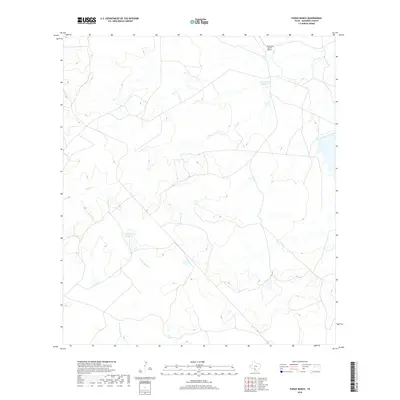
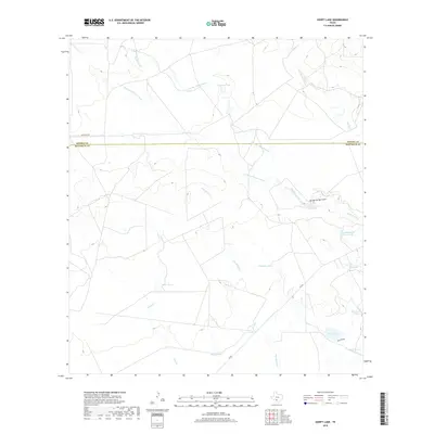
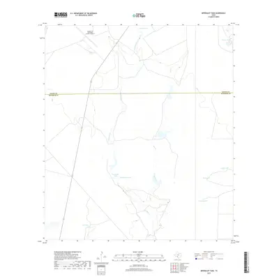
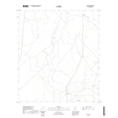
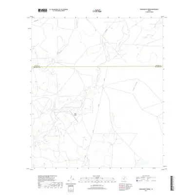
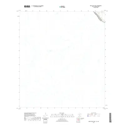
The community of Paloma stands at the center of this South Texas landscape, defined by a network of drainage ways and cattle tanks that supported the region's ranching heritage into the 2020s. Centered in Maverick County, the terrain is marked by Elm Creek, which flows past landmarks like Bandera School Land Lake and Consuelo Hill. The map serves as a record of early 21st-century land ownership and water management, highlighting named water sources such as Burr Estate Lake Number 2 and the Dunbar Cattle Company Lake. This area, north of the border, retains its traditional character through features like Darling and various stock ponds, including García Tank and Caliche Tank, which illustrate the enduring necessity of artificial water storage in the brush country.
Find a feature on this map
14 named features on this map. Tap any name to fly to it.
Don’t see what you’re looking for? This feature index may not catch every label — zoom into the map to look around manually.
Map Details
Editions of this 2022 Paloma Map
This is the sole edition of this map. No revisions or reprints were ever made.
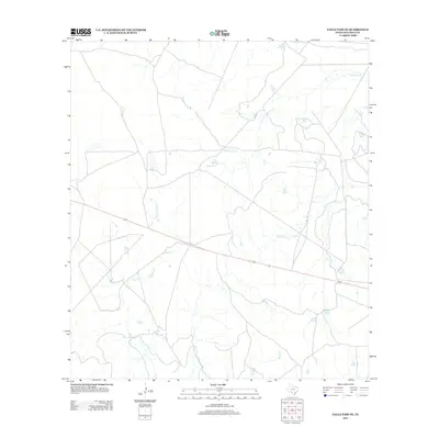
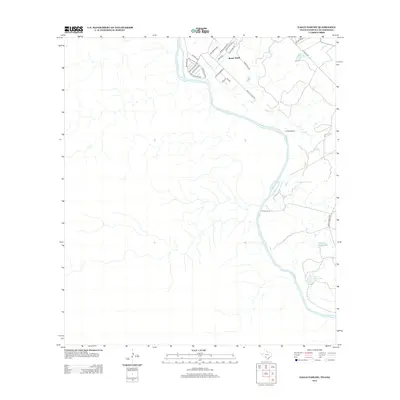
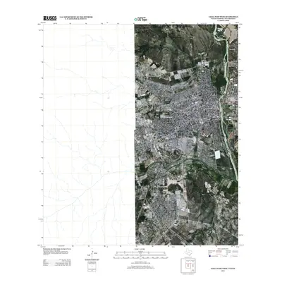
Historical Maps of Paloma Through Time
163 maps found

1940 Chacon Creek
Maverick County, TX

1940 Cometa
Maverick County, TX

1940 Paloma
Maverick County, TX

1941 Botella Creek
Maverick County, TX

1957 Botella Creek
Maverick County, TX

1957 Indio Creek
Maverick County, TX

1974 Chacon Creek NW
Maverick County, TX

1974 Chacon Creek SW
Maverick County, TX

1974 Deadmans Hill
Maverick County, TX

1974 Goofy Lake
Maverick County, TX

1974 Imperialist Tank
Maverick County, TX

1974 Indian Tank
Maverick County, TX

1974 Paloma
Maverick County, TX

1974 Peloncillo Peak
Maverick County, TX

1974 Quemado SE
Maverick County, TX

1974 Sacatosa Tank
Maverick County, TX

1974 Trosado Tank
Maverick County, TX

1978 Tequesquite Spring
Maverick County, TX

1979 Quemado West
Maverick County, TX

1979 Tequesquite Creek SW
Maverick County, TX

1982 Eagle Pass NE
Maverick County, TX

1982 Farias Ranch
Maverick County, TX

1982 Indio Tank
Maverick County, TX

1982 Tovar Creek East
Maverick County, TX

1983 Eagle Pass East
Maverick County, TX

1983 Eagle Pass SW
Maverick County, TX

1983 Eagle Pass West
Maverick County, TX

1983 Indio Creek
Maverick County, TX

1983 Salt Well
Maverick County, TX

1983 Tovar Creek West
Maverick County, TX

1983 West of Salt Well
Maverick County, TX

1985 San Ambrosia Creek
Maverick County, TX

1993 San Ambrosia Creek
Maverick County, TX
2010 Chacon Creek NW
Maverick County, TX
2010 Chacon Creek SW
Maverick County, TX
2010 Deadmans Hill
Maverick County, TX
2010 Eagle Pass East
Maverick County, TX
2010 Eagle Pass NE
Maverick County, TX
2010 Eagle Pass SW
Maverick County, TX
2010 Eagle Pass West
Maverick County, TX
2010 Farias Ranch
Maverick County, TX
2010 Goofy Lake
Maverick County, TX
2010 Imperialist Tank
Maverick County, TX
2010 Indian Tank
Maverick County, TX
2010 Indio Creek
Maverick County, TX
2010 Indio Tank
Maverick County, TX
2010 Paloma
Maverick County, TX
2010 Peloncillo Peak
Maverick County, TX
2010 Quemado East
Maverick County, TX
2010 Quemado SE
Maverick County, TX
2010 Quemado West
Maverick County, TX
2010 Sacatosa Tank
Maverick County, TX
2010 Salt Well
Maverick County, TX
2010 Tequesquite Creek SW
Maverick County, TX
2010 Tequesquite Spring
Maverick County, TX
2010 Tovar Creek East
Maverick County, TX
2010 Tovar Creek West
Maverick County, TX
2010 Trosado Tank
Maverick County, TX
2010 West of Salt Well
Maverick County, TX

2012 Chacon Creek NW
Maverick County, TX
2012 Chacon Creek SW
Maverick County, TX
2012 Deadmans Hill
Maverick County, TX
2012 Eagle Pass East
Maverick County, TX
2012 Eagle Pass NE
Maverick County, TX
2012 Eagle Pass SW
Maverick County, TX
2012 Eagle Pass West
Maverick County, TX
2012 Farias Ranch
Maverick County, TX
2012 Goofy Lake
Maverick County, TX
2012 Indian Tank
Maverick County, TX
2012 Indio Creek
Maverick County, TX
2012 Indio Tank
Maverick County, TX
2012 Paloma
Maverick County, TX
2012 Quemado East
Maverick County, TX
2012 Quemado SE
Maverick County, TX
2012 Quemado West
Maverick County, TX
2012 Sacatosa Tank
Maverick County, TX
2012 Salt Well
Maverick County, TX

2012 Tovar Creek East
Maverick County, TX
2012 Tovar Creek West
Maverick County, TX
2012 Trosado Tank
Maverick County, TX
2012 West of Salt Well
Maverick County, TX
2013 Imperialist Tank
Maverick County, TX
2013 Peloncillo Peak
Maverick County, TX
2013 Tequesquite Creek SW
Maverick County, TX
2013 Tequesquite Spring
Maverick County, TX
2016 Chacon Creek NW
Maverick County, TX
2016 Chacon Creek SW
Maverick County, TX
2016 Deadmans Hill
Maverick County, TX
2016 Eagle Pass East
Maverick County, TX
2016 Eagle Pass NE
Maverick County, TX
2016 Eagle Pass SW
Maverick County, TX
2016 Eagle Pass West
Maverick County, TX
2016 Farias Ranch
Maverick County, TX
2016 Goofy Lake
Maverick County, TX
2016 Imperialist Tank
Maverick County, TX
2016 Indian Tank
Maverick County, TX
2016 Indio Creek
Maverick County, TX
2016 Indio Tank
Maverick County, TX
2016 Paloma
Maverick County, TX
2016 Peloncillo Peak
Maverick County, TX
2016 Quemado East
Maverick County, TX
2016 Quemado SE
Maverick County, TX
2016 Quemado West
Maverick County, TX
2016 Sacatosa Tank
Maverick County, TX
2016 Salt Well
Maverick County, TX

2016 Tequesquite Creek SW
Maverick County, TX
2016 Tequesquite Spring
Maverick County, TX
2016 Tovar Creek East
Maverick County, TX
2016 Tovar Creek West
Maverick County, TX
2016 Trosado Tank
Maverick County, TX
2016 West of Salt Well
Maverick County, TX
2019 Chacon Creek NW
Maverick County, TX
2019 Chacon Creek SW
Maverick County, TX
2019 Deadmans Hill
Maverick County, TX
2019 Eagle Pass East
Maverick County, TX
2019 Eagle Pass NE
Maverick County, TX
2019 Eagle Pass SW
Maverick County, TX
2019 Eagle Pass West
Maverick County, TX
2019 Farias Ranch
Maverick County, TX
2019 Goofy Lake
Maverick County, TX
2019 Imperialist Tank
Maverick County, TX
2019 Indian Tank
Maverick County, TX
2019 Indio Creek
Maverick County, TX
2019 Indio Tank
Maverick County, TX
2019 Paloma
Maverick County, TX
2019 Peloncillo Peak
Maverick County, TX
2019 Quemado East
Maverick County, TX
2019 Quemado SE
Maverick County, TX
2019 Quemado West
Maverick County, TX
2019 Sacatosa Tank
Maverick County, TX
2019 Salt Well
Maverick County, TX
2019 Tequesquite Creek SW
Maverick County, TX
2019 Tequesquite Spring
Maverick County, TX
2019 Tovar Creek East
Maverick County, TX
2019 Tovar Creek West
Maverick County, TX
2019 Trosado Tank
Maverick County, TX
2019 West of Salt Well
Maverick County, TX

2022 Chacon Creek NW
Maverick County, TX

2022 Chacon Creek SW
Maverick County, TX

2022 Deadmans Hill
Maverick County, TX

2022 Eagle Pass East
Maverick County, TX

2022 Eagle Pass NE
Maverick County, TX

2022 Eagle Pass SW
Maverick County, TX

2022 Eagle Pass West
Maverick County, TX

2022 Farias Ranch
Maverick County, TX

2022 Goofy Lake
Maverick County, TX

2022 Imperialist Tank
Maverick County, TX

2022 Indian Tank
Maverick County, TX

2022 Indio Creek
Maverick County, TX

2022 Indio Tank
Maverick County, TX
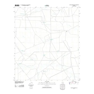
2022 Paloma
Maverick County, TX

2022 Peloncillo Peak
Maverick County, TX

2022 Quemado East
Maverick County, TX

2022 Quemado SE
Maverick County, TX

2022 Quemado West
Maverick County, TX

2022 Sacatosa Tank
Maverick County, TX

2022 Salt Well
Maverick County, TX

2022 Tequesquite Creek SW
Maverick County, TX

2022 Tequesquite Spring
Maverick County, TX

2022 Tovar Creek East
Maverick County, TX

2022 Tovar Creek West
Maverick County, TX

2022 Trosado Tank
Maverick County, TX

2022 West of Salt Well
Maverick County, TX