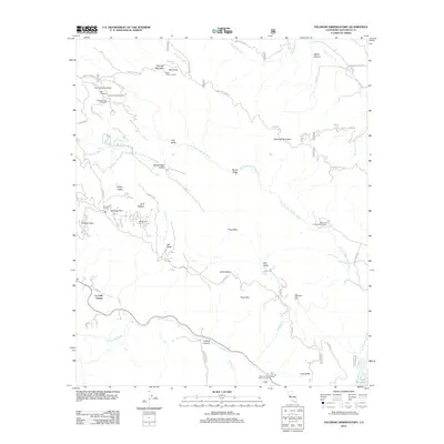
2012 Map of Palomar Observatory
USGS Topo · Published 2012About this map
Palomar Observatory crowns the high terrain of Palomar Mountain, serving as a world-renowned astronomical hub in this northern San Diego County landscape. The map details the specific sites of the Hale Telescope, the Fifty-Two Inch Telescope, and the Eighteen-Inch Telescope, highlighting the area's importance to scientific research. Beyond the telescopes, the terrain is defined by a series of high valleys such as Mendenhall Valley, Barker Valley, and Love Valley, which contrast with the deep drainage of the W Fork San Luis Rey River.
Find a feature on this map
51 named features on this map. Tap any name to fly to it.
Don’t see what you’re looking for? This feature index may not catch every label — zoom into the map to look around manually.
Map Details
Editions of this 2012 Palomar Observatory Map
This is the sole edition of this map. No revisions or reprints were ever made.
Other maps of this area

1903 · Ramona
USGS Topo · 1:125,000

1904 · Southern California Sheet No. 2
USGS Topo · 1:250,000

1939 · Warner Springs
USGS Topo · 1:62,500

1939 · Santa Ysabel
USGS Topo · 1:62,500

1939 · Palomar Mountain
USGS Topo · 1:62,500

1942 · Ramona
USGS Topo · 1:62,500

1943 · Santa Ysabel
USGS Topo · 1:62,500

1943 · Warner Springs
USGS Topo · 1:62,500

1947 · Ramona
USGS Topo · 1:62,500

1947 · Santa Ana
USGS Topo · 1:250,000