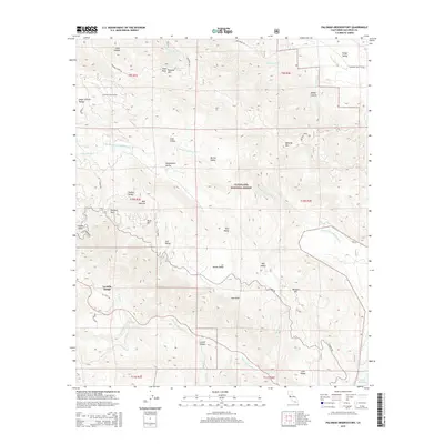
2015 Map of Palomar Observatory
USGS Topo · Published 2015About this map
Palomar Observatory stands as the primary landmark on this 2015 study of the high-elevation terrain within the Cleveland National Forest. The landscape is defined by a series of isolated upland basins including Mendenhall Valley, Dyche Valley, and Pedley Valley, which supported grazing and seasonal habitation long before the modern scientific installations. To the south, the San Luis Rey River and its West Fork drain the rugged slopes of Aguanga Mtn and High Point Mtn.
Find a feature on this map
55 named features on this map. Tap any name to fly to it.
Don’t see what you’re looking for? This feature index may not catch every label — zoom into the map to look around manually.
Map Details
Editions of this 2015 Palomar Observatory Map
This is the sole edition of this map. No revisions or reprints were ever made.
Other maps of this area

1903 · Ramona
USGS Topo · 1:125,000

1904 · Southern California Sheet No. 2
USGS Topo · 1:250,000

1939 · Warner Springs
USGS Topo · 1:62,500

1939 · Santa Ysabel
USGS Topo · 1:62,500

1939 · Palomar Mountain
USGS Topo · 1:62,500

1942 · Ramona
USGS Topo · 1:62,500

1943 · Santa Ysabel
USGS Topo · 1:62,500

1943 · Warner Springs
USGS Topo · 1:62,500

1947 · Ramona
USGS Topo · 1:62,500

1947 · Santa Ana
USGS Topo · 1:250,000