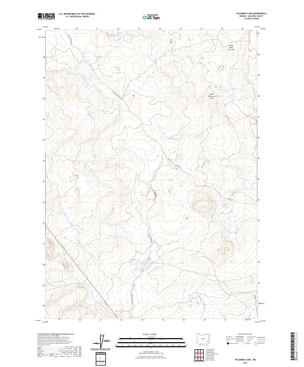
2024 Map of Palomino Lake
USGS Topo · Published 2024About this map
Saddle Butte Lava Field dominates the high desert landscape of Malheur County in this recent survey, showcasing a terrain defined by volcanic activity and sparse water resources. The presence of the Saddle Butte Lava Tube in the northeastern reaches suggests a subterranean complexity beneath the sagebrush steppe. Life and movement in this part of southeastern Oregon rely on rare water catchments like Palomino Lake and the Sheephead Reservoir, which serve as vital points for ranching and wildlife in an otherwise arid basin. Navigation through this territory is limited to remote tracks such as Iron Mountain Rd and Kiger Rd, reflecting a landscape that remains largely undeveloped. Small drainages like Ryegrass Creek and Scott Butte Creek provide the primary topographic relief in an area primarily organized by the Public Land Survey System grid.
Find a feature on this map
14 named features on this map. Tap any name to fly to it.
Don’t see what you’re looking for? This feature index may not catch every label — zoom into the map to look around manually.
Map Details
Editions of this 2024 Palomino Lake Map
This is the sole edition of this map. No revisions or reprints were ever made.
Other maps of this area

1955 · Jordan Valley
USGS Topo · 1:250,000

1955 · Burns
USGS Topo · 1:250,000

1955 · Adel
USGS Topo · 1:250,000

1955 · Boise
USGS Topo · 1:250,000

1957 · Adel
USGS Topo · 1:250,000

1957 · Jordan Valley
USGS Topo · 1:250,000

1958 · Burns
USGS Topo · 1:250,000

1958 · Boise
USGS Topo · 1:250,000

1958 · Adel
USGS Topo · 1:250,000

1958 · Jordan Valley
USGS Topo · 1:250,000