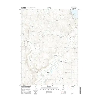
2016 Map of Panama
USGS Topo · Published 2016About this map
Panama Rocks stands as a prominent geological feature in this southwestern New York landscape, situated just east of the village of Panama. The terrain is defined by the drainage systems of Little Brokenstraw Cr and Goose Cr, which carve through a mix of upland ridges and lowland marshes like Watts Flats. This 2016 survey documents a deeply established rural network where small settlements like Niobe, Blockville, and Ashville are linked by a dense grid of named country roads.
Find a feature on this map
78 named features on this map. Tap any name to fly to it.
Don’t see what you’re looking for? This feature index may not catch every label — zoom into the map to look around manually.
Map Details
Editions of this 2016 Panama Map
This is the sole edition of this map. No revisions or reprints were ever made.
Other maps of this area

1904 · Chautaqua
USGS Topo · 1:62,500

1905 · Clymer
USGS Topo · 1:62,500

1926 · Youngsville
USGS Topo · 1:62,500

1929 · Corry
USGS Topo · 1:48,000

1929 · Youngsville
USGS Topo · 1:62,500

1932 · Corry
USGS Topo · 1:62,500

1939 · Clymer
USGS Topo · 1:62,500

1941 · Chautauqua
USGS Topo · 1:62,500

1941 · Clymer
USGS Topo · 1:62,500

1943 · Youngsville
USGS Topo · 1:62,500