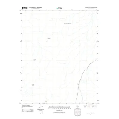
2012 Map of Panamint Butte
USGS Topo · Published 2012About this map
Panamint Butte stands as the central landmark in this high-altitude desert region of Inyo County, situated within the southern reaches of the Cottonwood Mountains. The landscape is defined by deep drainages and steep vertical drops, notably Lemoigne Canyon and its South Fork to the north, and Panamint Canyon and Dolomite Canyon to the south. In 2012, this area remained largely defined by its natural topography and high-desert terrain rather than human settlement. The only primary corridor for travel through this part of the range is the road crossing at Towne Pass, which provides the critical link between the desert basins. Geologists and local history researchers can trace the intricate network of canyons and the watershed patterns that have shaped the geological character of the range over millennia.
Find a feature on this map
7 named features on this map. Tap any name to fly to it.
Don’t see what you’re looking for? This feature index may not catch every label — zoom into the map to look around manually.
Map Details
Editions of this 2012 Panamint Butte Map
This is the sole edition of this map. No revisions or reprints were ever made.
Other maps of this area

1908 · Ballarat
USGS Topo · 1:250,000

1913 · Ballarat
USGS Topo · 1:250,000

1948 · Death Valley
USGS Topo · 1:250,000

1951 · Panamint Butte
USGS Topo · 1:62,500

1951 · Marble Canyon
USGS Topo · 1:62,500

1952 · Stovepipe Wells
USGS Topo · 1:62,500

1952 · Emigrant Canyon
USGS Topo · 1:62,500

1954 · Death Valley
USGS Topo · 1:250,000

1956 · Death Valley
USGS Topo · 1:250,000

1957 · Death Valley
USGS Topo · 1:250,000