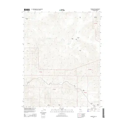
2015 Map of Panoche Pass
USGS Topo · Published 2015About this map
Panoche Pass and the surrounding high country of San Benito County are documented here in detail, centered on the intersection of the Diablo Range, Chemise Ridge, and Call Mountains. This interior landscape is characterized by a series of distinct valleys and flats that separate the primary ridges, including Los Muertos Valley, Coyote Valley, and Payne Valley. These natural corridors have long dictated movement through the region, most notably along Panoche Rd.
Find a feature on this map
27 named features on this map. Tap any name to fly to it.
Don’t see what you’re looking for? This feature index may not catch every label — zoom into the map to look around manually.
Map Details
Editions of this 2015 Panoche Pass Map
This is the sole edition of this map. No revisions or reprints were ever made.
Other maps of this area

1913 · Panoche
USGS Topo · 1:125,000

1919 · San Benito
USGS Topo · 1:62,500

1922 · Quien Sabe
USGS Topo · 1:62,500

1931 · San Benito
USGS Topo · 1:62,500

1940 · Quien Sabe
USGS Topo · 1:62,500

1940 · San Benito
USGS Topo · 1:62,500

1943 · Ortigalita Peak
USGS Topo · 1:62,500

1944 · Panoche Valley
USGS Topo · 1:62,500

1948 · Santa Cruz
USGS Topo · 1:250,000

1955 · Santa Cruz
USGS Topo · 1:250,000