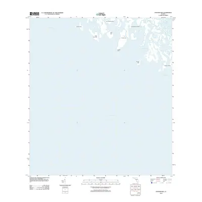
2012 Map of Panther Key
USGS Topo · Published 2012About this map
Ten Thousand Islands forms a complex maze of mangrove islets and coastal waterways along the southwestern edge of Florida. This survey captures a remote coastal environment where the land dissolves into the Gulf of Mexico through a series of tidal channels and small keys. Named features like Panther Key, Hog Key, and Gullivan Key illustrate the fragmented nature of this shoreline. Navigational landmarks such as Gomez Point and the narrow Dismal Key Pass are critical for understanding the maritime history of the region. The presence of Camp Lulu Key suggests small-scale human outposts amidst the larger natural system of Fakahatchee Pass and West Pass, reflecting an era of conservation and limited coastal development in this part of Collier County.
Find a feature on this map
14 named features on this map. Tap any name to fly to it.
Don’t see what you’re looking for? This feature index may not catch every label — zoom into the map to look around manually.
Map Details
Editions of this 2012 Panther Key Map
This is the sole edition of this map. No revisions or reprints were ever made.
Other maps of this area

1956 · Miami
USGS Topo · 1:250,000

1958 · Miami
USGS Topo · 1:250,000

1972 · Weavers Station
USGS Topo · 1:24,000

1973 · Cape Romano
USGS Topo · 1:24,000

1973 · Marco Island
USGS Topo · 1:24,000
1973 · Royal Palm Hammock
USGS Topo · 1:24,000
1974 · Everglades City
USGS Topo · 1:24,000
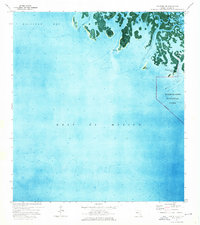
1974 · Panther Key
USGS Topo · 1:24,000

1982 · Everglades City
USGS Topo · 1:100,000

1988 · Miami
USGS Topo · 1:250,000