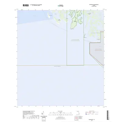
2024 Map of Panther Key
USGS Topo · Published 2024About this map
Panther Key and the surrounding labyrinth of the Ten Thousand Islands define this coastal landscape where the fresh water of the Glades meets the Gulf of Mexico. The map details a complex network of mangrove keys and tidal passes, including Dismal Key Pass and West Pass, within the protected reaches of the Ten Thousand Islands National Wildlife Refuge and Everglades National Park. A significant portion of the eastern sheet is designated as the Marjory Stoneman Douglas Wilderness, reflecting modern conservation efforts to preserve this unique subtropical ecosystem. For navigators and adventurers, the Florida Circumnavigational Paddling Trail is clearly marked, weaving past landmarks like Gomez Point and Camp Lulu Key. The map serves as a contemporary record of these shifting shorelines and the established boundaries of Florida's most critical wilderness preserves.
Find a feature on this map
16 named features on this map. Tap any name to fly to it.
Don’t see what you’re looking for? This feature index may not catch every label — zoom into the map to look around manually.
Map Details
Editions of this 2024 Panther Key Map
This is the sole edition of this map. No revisions or reprints were ever made.
Other maps of this area

1956 · Miami
USGS Topo · 1:250,000

1958 · Miami
USGS Topo · 1:250,000

1972 · Weavers Station
USGS Topo · 1:24,000

1973 · Cape Romano
USGS Topo · 1:24,000

1973 · Marco Island
USGS Topo · 1:24,000
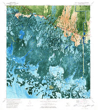
1973 · Royal Palm Hammock
USGS Topo · 1:24,000
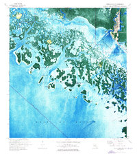
1974 · Everglades City
USGS Topo · 1:24,000
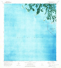
1974 · Panther Key
USGS Topo · 1:24,000

1982 · Everglades City
USGS Topo · 1:100,000

1988 · Miami
USGS Topo · 1:250,000