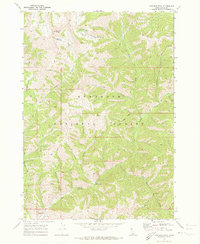
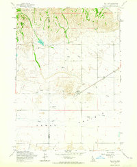
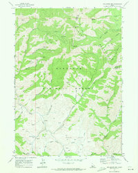
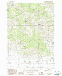
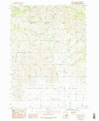
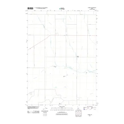
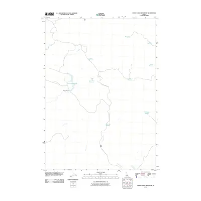
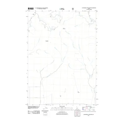
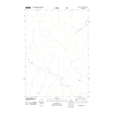
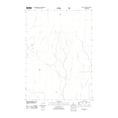
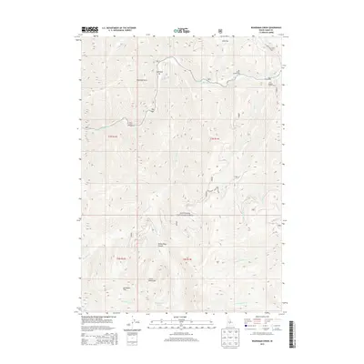
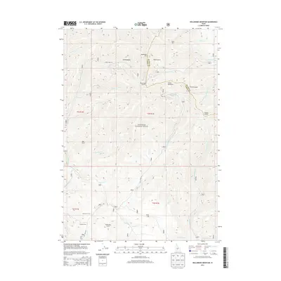
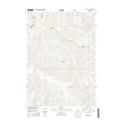
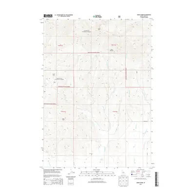
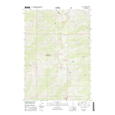
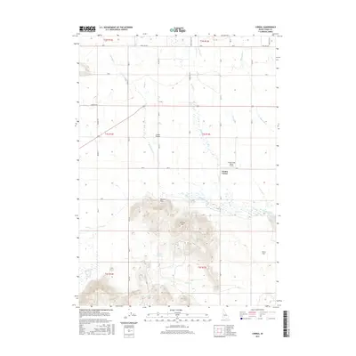
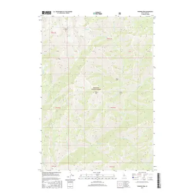
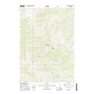
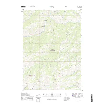
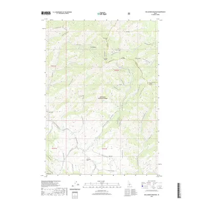
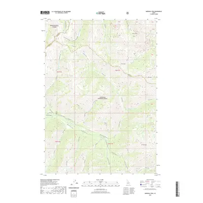
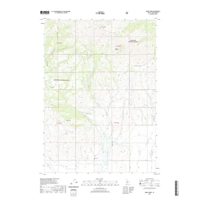
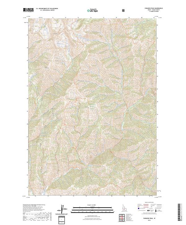
1970 Map of Paradise Peak
USGS Topo · Published 1973About this map
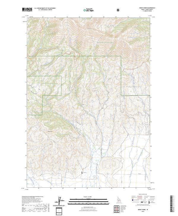
Skillern Hot Springs sits at the heart of this high-elevation wilderness within the Sawtooth National Forest. The landscape is defined by the drainage systems of Big Smoky Creek and its many tributaries, including Skillern Creek and the North Fork Big Smoky Creek. In 1970, this area served primarily as a destination for backcountry recreation and forestry management, evidenced by the presence of the Headquarters Camp and Canyon Campground. High peaks like Paradise Peak and Skillern Peak overlook a network of pack trails that provide the only access to remote water bodies such as Snowslide Lakes and Paradise Lake. The map details a rugged interior where landmarks like Elk Point and a simple Footbridge over the creek were vital points of orientation for travelers in the central Idaho mountains.
Find a feature on this map
30 named features on this map. Tap any name to fly to it.
Don’t see what you’re looking for? This feature index may not catch every label — zoom into the map to look around manually.
Map Details
Editions of this 1970 Paradise Peak Map
This is the sole edition of this map. No revisions or reprints were ever made.
Historical Maps of Camas County Through Time
110 maps found
1900 Sawtooth
Camas County, ID
1957 Blaine
Camas County, ID
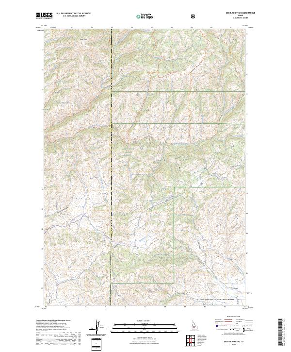
1963 Deer Mountain
Camas County, ID
1963 Hill City
Camas County, ID
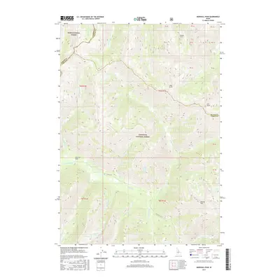
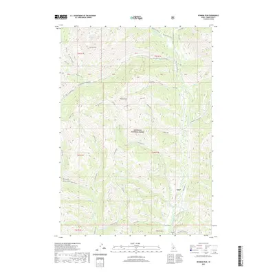
1964 Marshall Peak
Camas County, ID
1970 Baker Peak
Camas County, ID
1970 Boardman Creek
Camas County, ID
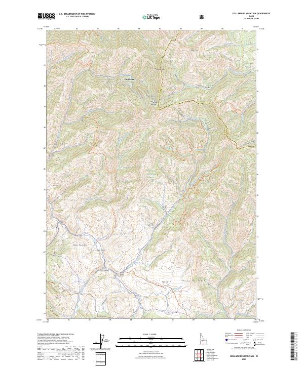
1970 Dollarhide Mtn
Camas County, ID
1970 Newman Peak
Camas County, ID
1970 Paradise Peak
Camas County, ID
1970 Sydney Butte
Camas County, ID
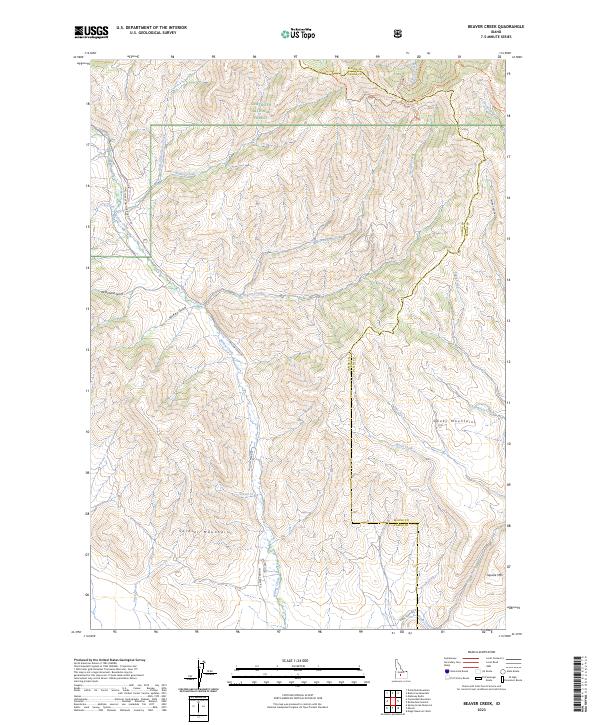
1986 Beaver Creek
Camas County, ID
1986 Cannonball Mountain
Camas County, ID
1986 Corral
Camas County, ID
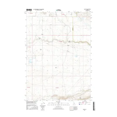
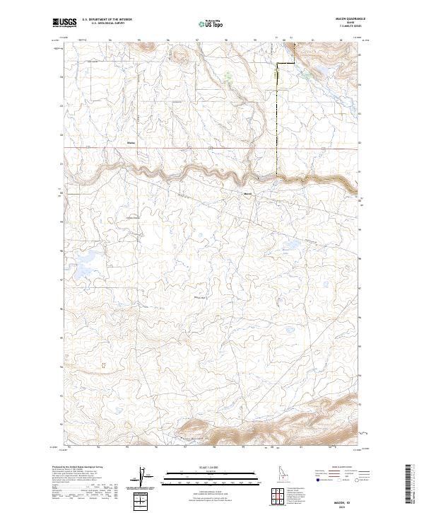
1986 Macon
Camas County, ID
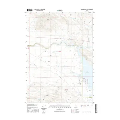
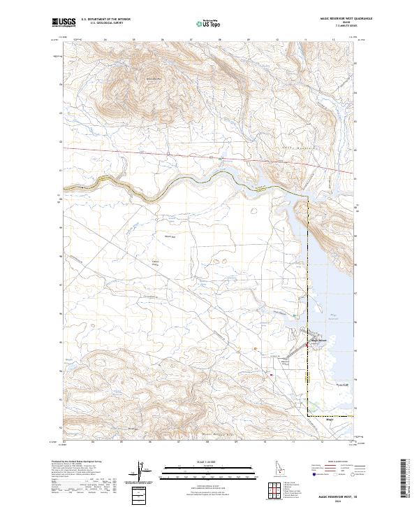
1986 Magic Reservoir West
Camas County, ID
1986 Phillips Creek
Camas County, ID
1986 Smoky Dome
Camas County, ID
1986 Spring Creek Reservoir
Camas County, ID
1986 Thorn Creek Reservoir
Camas County, ID
2010 Corral
Camas County, ID
2010 Macon
Camas County, ID
2010 Magic Reservoir West
Camas County, ID
2010 Spring Creek Reservoir
Camas County, ID
2010 Thorn Creek Reservoir
Camas County, ID
2011 Baker Peak
Camas County, ID
2011 Beaver Creek
Camas County, ID
2011 Boardman Creek
Camas County, ID
2011 Cannonball Mountain
Camas County, ID
2011 Deer Mountain
Camas County, ID
2011 Dollarhide Mountain
Camas County, ID
2011 Hill City
Camas County, ID
2011 Marshall Peak
Camas County, ID
2011 Newman Peak
Camas County, ID
2011 Paradise Peak
Camas County, ID
2011 Phillips Creek
Camas County, ID
2011 Smoky Dome
Camas County, ID
2011 Sydney Butte
Camas County, ID
2013 Baker Peak
Camas County, ID
2013 Beaver Creek
Camas County, ID
2013 Boardman Creek
Camas County, ID
2013 Cannonball Mountain
Camas County, ID
2013 Corral
Camas County, ID
2013 Deer Mountain
Camas County, ID
2013 Dollarhide Mountain
Camas County, ID
2013 Hill City
Camas County, ID
2013 Macon
Camas County, ID
2013 Magic Reservoir West
Camas County, ID
2013 Marshall Peak
Camas County, ID
2013 Newman Peak
Camas County, ID
2013 Paradise Peak
Camas County, ID
2013 Phillips Creek
Camas County, ID
2013 Smoky Dome
Camas County, ID
2013 Spring Creek Reservoir
Camas County, ID
2013 Sydney Butte
Camas County, ID
2013 Thorn Creek Reservoir
Camas County, ID
2017 Baker Peak
Camas County, ID
2017 Beaver Creek
Camas County, ID
2017 Boardman Creek
Camas County, ID
2017 Cannonball Mountain
Camas County, ID
2017 Corral
Camas County, ID
2017 Deer Mountain
Camas County, ID
2017 Dollarhide Mountain
Camas County, ID
2017 Hill City
Camas County, ID
2017 Macon
Camas County, ID
2017 Magic Reservoir West
Camas County, ID
2017 Marshall Peak
Camas County, ID
2017 Newman Peak
Camas County, ID
2017 Paradise Peak
Camas County, ID
2017 Phillips Creek
Camas County, ID
2017 Smoky Dome
Camas County, ID
2017 Spring Creek Reservoir
Camas County, ID
2017 Sydney Butte
Camas County, ID
2017 Thorn Creek Reservoir
Camas County, ID
2020 Baker Peak
Camas County, ID
2020 Beaver Creek
Camas County, ID
2020 Boardman Creek
Camas County, ID
2020 Cannonball Mountain
Camas County, ID
2020 Corral
Camas County, ID
2020 Deer Mountain
Camas County, ID
2020 Dollarhide Mountain
Camas County, ID
2020 Hill City
Camas County, ID
2020 Macon
Camas County, ID
2020 Magic Reservoir West
Camas County, ID
2020 Marshall Peak
Camas County, ID
2020 Newman Peak
Camas County, ID
2020 Paradise Peak
Camas County, ID
2020 Phillips Creek
Camas County, ID
2020 Smoky Dome
Camas County, ID
2020 Spring Creek Reservoir
Camas County, ID
2020 Sydney Butte
Camas County, ID
2020 Thorn Creek Reservoir
Camas County, ID
2023 Beaver Creek
Camas County, ID
2023 Deer Mountain
Camas County, ID
2023 Dollarhide Mountain
Camas County, ID
2023 Macon
Camas County, ID
2023 Paradise Peak
Camas County, ID
2023 Spring Creek Reservoir
Camas County, ID
2023 Sydney Butte
Camas County, ID
2024 Baker Peak
Camas County, ID
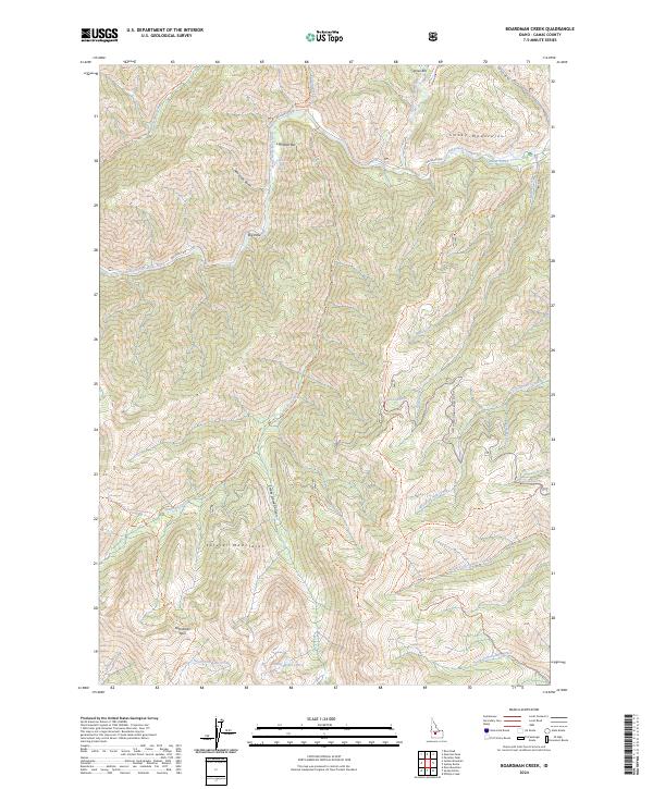
2024 Boardman Creek
Camas County, ID
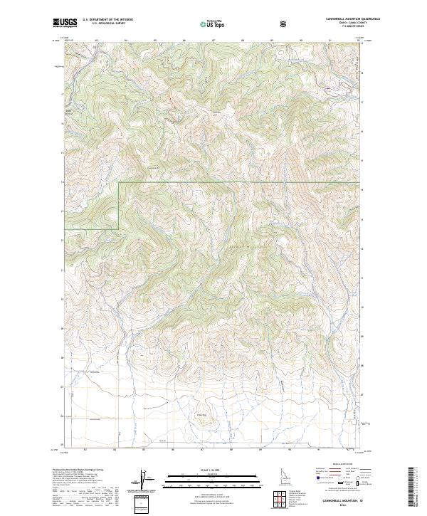
2024 Cannonball Mountain
Camas County, ID
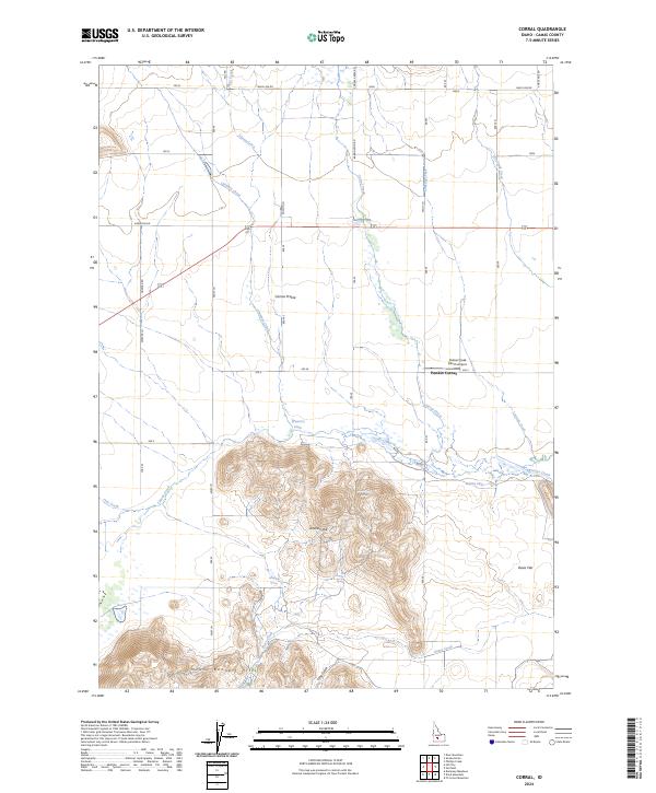
2024 Corral
Camas County, ID
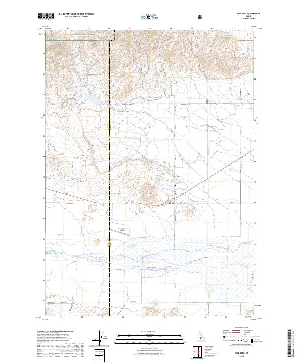
2024 Hill City
Camas County, ID
2024 Magic Reservoir West
Camas County, ID
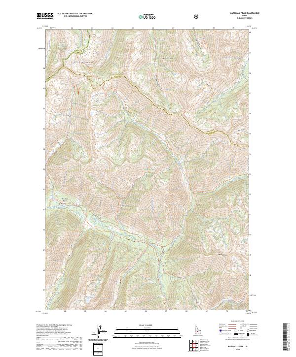
2024 Marshall Peak
Camas County, ID
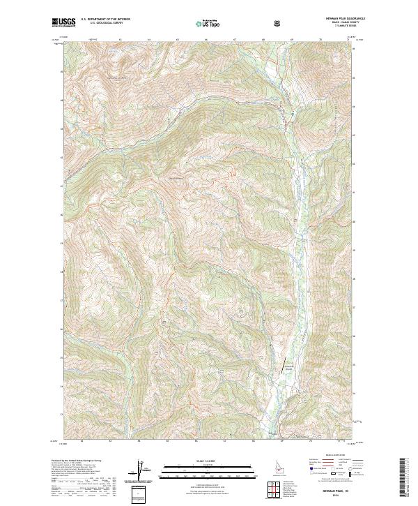
2024 Newman Peak
Camas County, ID
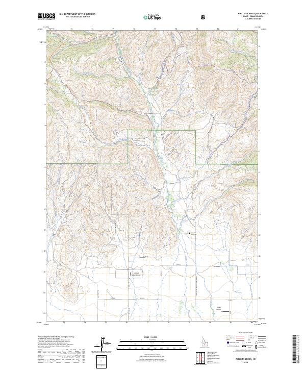
2024 Phillips Creek
Camas County, ID
2024 Smoky Dome
Camas County, ID
2024 Thorn Creek Reservoir
Camas County, ID