Loading...
Loading map...2024 Map of Paradise
USGS Topo · Published 2024About this map
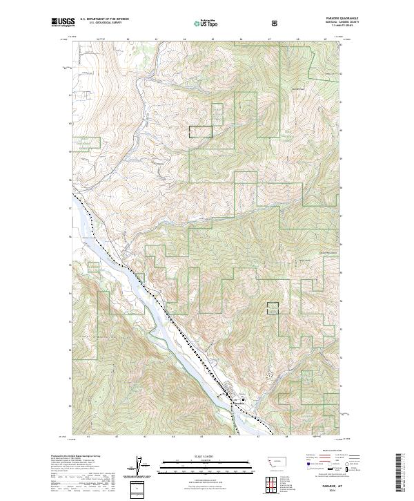
Paradise occupies a strategic bend in the Clark Fork river, framed by the towering peaks of the Cabinet Mountains to the north and the Coeur d'Alene Mountains to the south. This 2024 survey documents the enduring geography of this mountain settlement, where the BNSF Railway corridor runs parallel to the river's path through the narrow valley. The town's grid, featuring streets like Railroad Ave and Central Ave, sits just above the floodplain near the Paradise Cem.
Find a feature on this map
46 named features on this map. Tap any name to fly to it.
Don’t see what you’re looking for? This feature index may not catch every label — zoom into the map to look around manually.
Map Details
Date Portrayed2024
Date Published2024
PublisherU.S. Geological Survey
Map TypeTopographic
Scale1:24000
Physical Dimensions24 x 29 inches
Editions of this 2024 Paradise Map
This is the sole edition of this map. No revisions or reprints were ever made.
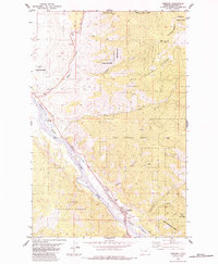
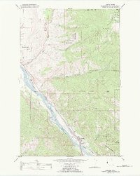
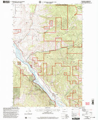
Historical Maps of Paradise Through Time
4 maps found
Featured Locations
Source Details
SourceU.S. Geological Survey
CopyrightPublic Domain