Loading...
Loading map...2024 Map of Paris
USGS Topo · Published 2024About this map
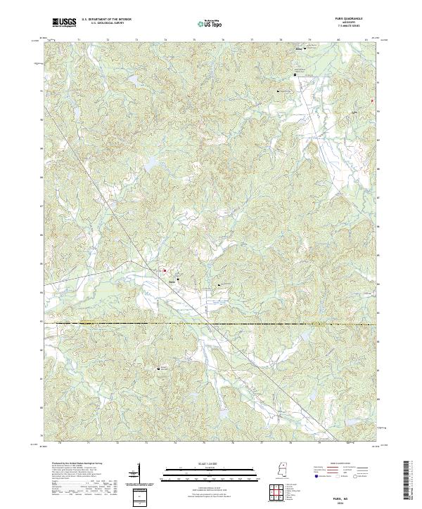
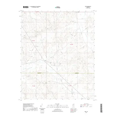
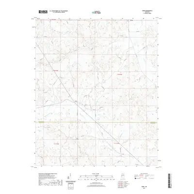
Paris and Delay center this corner of Northern Mississippi, where the landscape is defined by the winding tributaries of the Yazoo River basin. The area exhibits a pattern of upland ridges separated by creek bottoms, including Potlockney Creek and Otoucalofa Creek. This region along the Lafayette Co Calhoun Co line is notably rich in rural community landmarks, particularly churches and cemeteries that serve as anchors for local genealogy.
Find a feature on this map
63 named features on this map. Tap any name to fly to it.
Don’t see what you’re looking for? This feature index may not catch every label — zoom into the map to look around manually.
Map Details
Date Portrayed2024
Date Published2024
PublisherU.S. Geological Survey
Map TypeTopographic
Scale1:24,000
Physical Dimensions24 x 29 inches
Editions of this 2024 Paris Map
This is the sole edition of this map. No revisions or reprints were ever made.
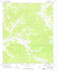
Historical Maps of Paris Through Time
6 maps found
Featured Locations
Source Details
SourceU.S. Geological Survey
CopyrightPublic Domain