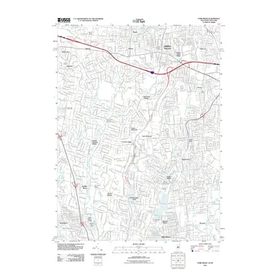
2011 Map of Park Ridge
USGS Topo · Published 2011About this map
Spring Valley and Park Ridge anchor this detailed study of the suburban landscape bridging the New York and New Jersey border. The map documents the intricate residential and commercial expansion around the Garden State Parkway, which serves as a major artery through Chestnut Ridge and Montvale. Significant water management features define the local geography, notably Woodcliff Lake and the Woodcliff Lake Dam, alongside the Saddle River and its various tributaries like Bear Brook and Pascack Brook.
Find a feature on this map
60 named features on this map. Tap any name to fly to it.
Don’t see what you’re looking for? This feature index may not catch every label — zoom into the map to look around manually.
Map Details
Editions of this 2011 Park Ridge Map
This is the sole edition of this map. No revisions or reprints were ever made.
Other maps of this area

1888 · Paterson
USGS Topo · 1:62,500

1891 · Ramapo
USGS Topo · 1:62,500

1891 · Harlem
USGS Topo · 1:62,500

1892 · Paterson
USGS Topo · 1:62,500

1892 · Tarrytown
USGS Topo · 1:62,500

1893 · Tarrytown
USGS Topo · 1:62,500

1893 · Ramapo
USGS Topo · 1:62,500

1897 · Harlem
USGS Topo · 1:62,500

1898 · Harlem
USGS Topo · 1:62,500

1898 · Paterson
USGS Topo · 1:62,500