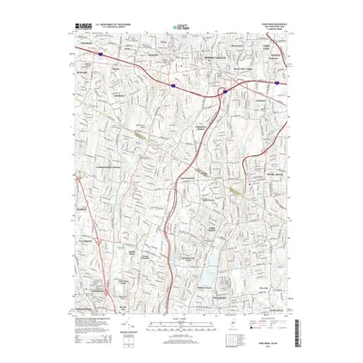
2014 Map of Park Ridge
USGS Topo · Published 2014About this map
The Saddle River Valley serves as a geographic centerpiece for this 2014 survey, illustrating the dense suburban character of the borderlands between New York and New Jersey. This landscape is a complex weave of residential growth and established religious institutions, notably the numerous educational and spiritual centers in Monsey such as Yeshiva D'monsey Rabbinical Coll and Yeshivath Viznitz.
Find a feature on this map
100 named features on this map. Tap any name to fly to it.
Don’t see what you’re looking for? This feature index may not catch every label — zoom into the map to look around manually.
Map Details
Editions of this 2014 Park Ridge Map
This is the sole edition of this map. No revisions or reprints were ever made.
Other maps of this area

1888 · Paterson
USGS Topo · 1:62,500

1891 · Ramapo
USGS Topo · 1:62,500

1891 · Harlem
USGS Topo · 1:62,500

1892 · Paterson
USGS Topo · 1:62,500

1892 · Tarrytown
USGS Topo · 1:62,500

1893 · Tarrytown
USGS Topo · 1:62,500

1893 · Ramapo
USGS Topo · 1:62,500

1897 · Harlem
USGS Topo · 1:62,500

1898 · Harlem
USGS Topo · 1:62,500

1898 · Paterson
USGS Topo · 1:62,500