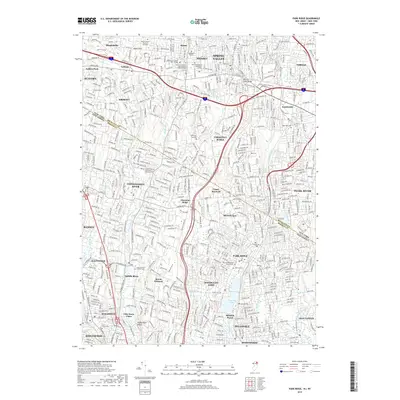
2019 Map of Park Ridge
USGS Topo · Published 2019About this map
The borderlands of New Jersey and New York are densely developed in this 2019 survey, where the suburban landscape of Bergen and Rockland Counties is defined by a network of educational institutions and religious centers. Settlements such as Park Ridge, Monsey, and Chestnut Ridge are interspersed with numerous yeshivas and colleges, including the Yeshivath Viznitz and the Sunbridge Institute. The area's older history is preserved in its spiritual landmarks, notably the Pascack Reformed Church Cem and the Saddle River Reformed Cem. These sites, along with the Zion Lutheran Church Cem, provide a record of local families near the winding course of the Saddle River and Pascack Brook. The landscape also features significant water bodies like Woodcliff Lake and Monsey Lake, which remain central to the geography of these residential communities.
Find a feature on this map
72 named features on this map. Tap any name to fly to it.
Don’t see what you’re looking for? This feature index may not catch every label — zoom into the map to look around manually.
Map Details
Editions of this 2019 Park Ridge Map
This is the sole edition of this map. No revisions or reprints were ever made.
Other maps of this area

1888 · Paterson
USGS Topo · 1:62,500

1891 · Ramapo
USGS Topo · 1:62,500

1891 · Harlem
USGS Topo · 1:62,500

1892 · Paterson
USGS Topo · 1:62,500

1892 · Tarrytown
USGS Topo · 1:62,500

1893 · Tarrytown
USGS Topo · 1:62,500

1893 · Ramapo
USGS Topo · 1:62,500

1897 · Harlem
USGS Topo · 1:62,500

1898 · Harlem
USGS Topo · 1:62,500

1898 · Paterson
USGS Topo · 1:62,500