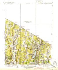
1939 Map of Park Ridge
USGS Topo · Published 1939About this map
The Pascack Valley serves as a focal point for this pre-war survey, documenting a landscape of growing commuter hubs and water resources along the New York and New Jersey border. The Erie RR corridor anchors the eastern half of the map, connecting the established boroughs of Park Ridge, Montvale, and Hillsdale. Central to this development is the significant footprint of Woodcliff Lake, which, along with Western Reservoir and the Old Mill Pond, underscores the region's managed hydraulic network. To the west, the terrain remains less densely settled, defined by the winding course of the Saddle River and landmark estates like the Villa Marie Claire. Genealogists may find value in the distinct placement of local religious and community centers such as the Zion Tabernacle and the scattered crossings over Pascack Brook.
Find a feature on this map
38 named features on this map. Tap any name to fly to it.
Don’t see what you’re looking for? This feature index may not catch every label — zoom into the map to look around manually.
Map Details
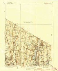
Editions of this 1939 Park Ridge Map
2 editions found
Other maps of this area

1888 · Paterson
USGS Topo · 1:62,500

1891 · Ramapo
USGS Topo · 1:62,500

1891 · Harlem
USGS Topo · 1:62,500

1892 · Paterson
USGS Topo · 1:62,500

1892 · Tarrytown
USGS Topo · 1:62,500

1893 · Tarrytown
USGS Topo · 1:62,500

1893 · Ramapo
USGS Topo · 1:62,500

1897 · Harlem
USGS Topo · 1:62,500

1898 · Harlem
USGS Topo · 1:62,500

1898 · Paterson
USGS Topo · 1:62,500