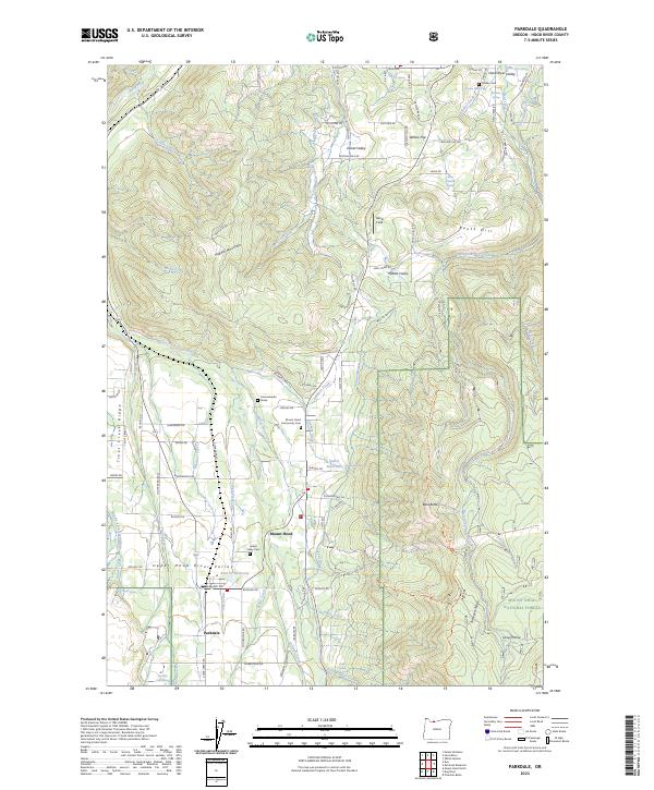
2023 Map of Parkdale
USGS Topo · Published 2023About this map
Parkdale serves as the gateway to the northern reaches of the Mount Hood National Forest, where the orchard-filled Upper Hood River Valley meets the rising slopes of the Cascades. This 2023 survey documents the intricate water management system essential to the region, including the East Fork Main Canal, Highline Lateral, and Mount Hood Canal. These irrigation networks support the agriculture of Dukes Valley and Middle Valley, defining the land-use patterns that have shaped this community for generations. Genealogists will find significant detail in the locations of the Upper Valley Cem, Shelley Cem, and the Mount Hood Community Cem. A singular landmark, the Homesteader Grave near Baldwin Creek, offers a direct connection to the early settlement era, while the transition from valley floors to Surveyors Ridge and Booth Hill illustrates the geography that historically separated logging operations from farmstead life.
Find a feature on this map
110 named features on this map. Tap any name to fly to it.
Don’t see what you’re looking for? This feature index may not catch every label — zoom into the map to look around manually.
Map Details
Editions of this 2023 Parkdale Map
This is the sole edition of this map. No revisions or reprints were ever made.
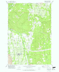
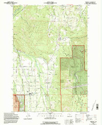
Historical Maps of Mount Hood Through Time
3 maps found