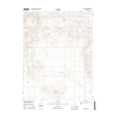
2014 Map of Parker Butte
USGS Topo · Published 2014About this map
Lux stands at the southwestern edge of this high-desert landscape, situated where the broad expanse of Mason Valley begins its transition into the rising slopes of the Desert Mountains. The Walker River snakes through the central terrain, providing a vital riparian corridor in an otherwise arid environment characterized by prominent landmarks like Parker Butte. Water remains the defining factor of local settlement and geography here, evidenced by the presence of Black Point Spring tucked into the foothills. The layout of the land is further defined by local thoroughfares such as Julian Ln and Powerline Rd, which trace the valley floor and connect the small settlement of Lux to the surrounding sagebrush and mountain terrain.
Find a feature on this map
13 named features on this map. Tap any name to fly to it.
Don’t see what you’re looking for? This feature index may not catch every label — zoom into the map to look around manually.
Map Details
Editions of this 2014 Parker Butte Map
This is the sole edition of this map. No revisions or reprints were ever made.
Other maps of this area

1891 · Wabuska
USGS Topo · 1:125,000

1894 · Wabuska
USGS Topo · 1:125,000

1908 · Carson Sink
USGS Topo · 1:250,000

1910 · Carson Sink
USGS Topo · 1:250,000

1951 · Weber Reservoir
USGS Topo · 1:62,500

1951 · Fallon
USGS Topo · 1:62,500

1957 · Wabuska
USGS Topo · 1:62,500

1957 · Silver Springs
USGS Topo · 1:62,500

1957 · Reno
USGS Topo · 1:250,000

1959 · Reno
USGS Topo · 1:250,000