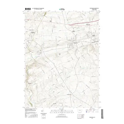
2016 Map of Parkesburg
USGS Topo · Published 2016About this map
Sadsbury Meeting House and the Glen Run Cem serve as long-standing anchors in this landscape along the border of Lancaster and Chester counties. The area is defined by the transition from the Gap Hill and South Valley Hills into a dense network of valley settlements, including Parkesburg, Atglen, and Cochranville. The drainage patterns of East Branch Octoraro Creek and West Branch Octoraro Creek provide a natural framework for the agricultural and residential corridors that have developed here over centuries.
Find a feature on this map
161 named features on this map. Tap any name to fly to it.
Don’t see what you’re looking for? This feature index may not catch every label — zoom into the map to look around manually.
Map Details
Editions of this 2016 Parkesburg Map
This is the sole edition of this map. No revisions or reprints were ever made.
Other maps of this area

1904 · Coatesville
USGS Topo · 1:62,500

1905 · Honey Brook
USGS Topo · 1:62,500

1906 · Coatesville
USGS Topo · 1:62,500

1906 · New Holland
USGS Topo · 1:62,500

1907 · Honeybrook
USGS Topo · 1:62,500

1908 · New Holland
USGS Topo · 1:62,500

1912 · Quarryville
USGS Topo · 1:62,500

1918 · Coatesville
USGS Topo · 1:62,500

1941 · Honeybrook
USGS Topo · 1:62,500

1941 · New Holland
USGS Topo · 1:62,500