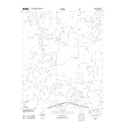
2012 Map of Parks
USGS Topo · Published 2012About this map
Maine and the historic corridor of Old Rte "66" define the southern landscape of this 2012 survey in Coconino County. The region is characterized by high-altitude features and clearings, including the wide expanse of Government Prairie and the eponymous Brannigan Park. The terrain rises sharply to peaks such as Government Mountain and Beale Mountain in the north, while several family-named landmarks suggest the early ranching and homesteading history of the area, such as Klostermeyer Hill, Wright Hill, and Kaufman Spring.
Find a feature on this map
71 named features on this map. Tap any name to fly to it.
Don’t see what you’re looking for? This feature index may not catch every label — zoom into the map to look around manually.
Map Details
Editions of this 2012 Parks Map
This is the sole edition of this map. No revisions or reprints were ever made.
Other maps of this area

1886 · San Francisco Mtns
USGS Topo · 1:250,000

1886 · Chino
USGS Topo · 1:250,000

1891 · San Francisco Mtns
USGS Topo · 1:250,000

1891 · Chino
USGS Topo · 1:250,000

1894 · San Francisco Mtns
USGS Topo · 1:250,000

1899 · San Francisco Mtns
USGS Topo · 1:250,000

1908 · Flagstaff
USGS Topo · 1:125,000

1912 · Flagstaff
USGS Topo · 1:125,000

1922 · Williams
USGS Topo · 1:125,000

1947 · Flagstaff
USGS Topo · 1:250,000