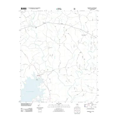
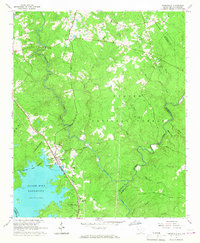
1964 Map of Parksville
USGS Topo · Published 1987About this map
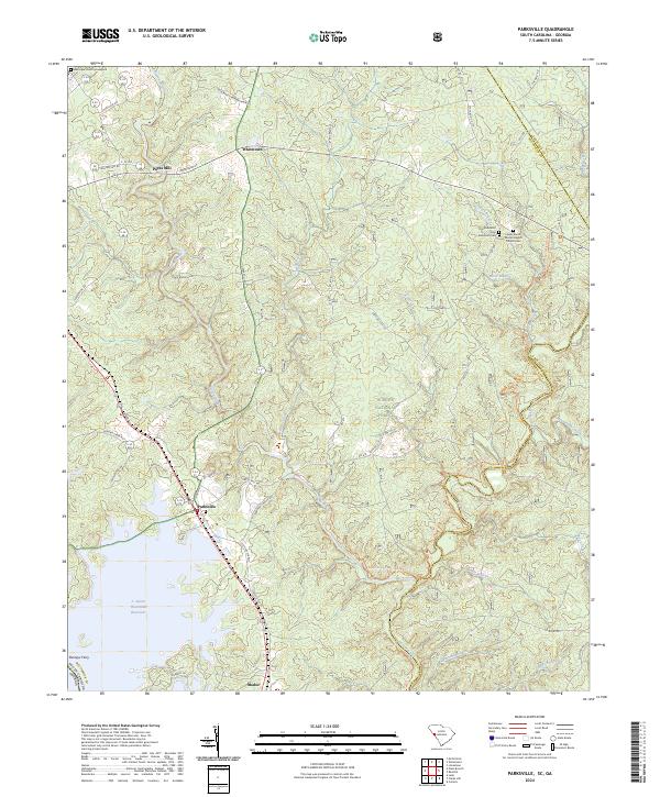
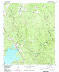
Sumter National Forest dominates the interior of this South Carolina landscape, where the rising waters of Clarks Hill Lake have reshaped the historic drainage of the Savannah R. The settlement of Parksville sits at a transition point between the upland forest and the expanding lakefront, served by the Seaboard rail line. Local history is deeply embedded in the rural road network, with sites like Mims Sch No 2 and Parks Mill marking earlier centers of education and industry. The map captures a high density of country churches that anchored these communities, including Rehoboth Ch, Mt Moriah Ch, and Mt Lebanon Ch. Further south, the establishment of Hamilton Branch State Park indicates the mid-century shift toward recreation as the lake became a defining geographic feature of the McCormick and Edgefield county border.
Find a feature on this map
32 named features on this map. Tap any name to fly to it.
Don’t see what you’re looking for? This feature index may not catch every label — zoom into the map to look around manually.
Map Details
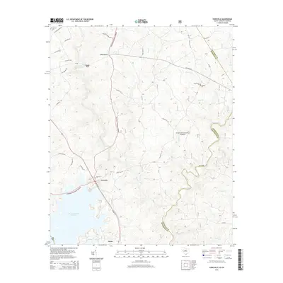
Editions of this 1964 Parksville Map
2 editions found
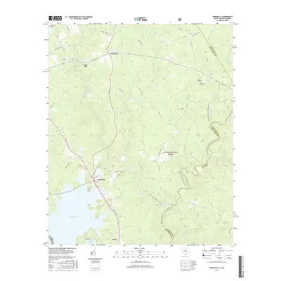
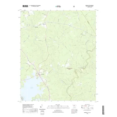
Historical Maps of Parksville Through Time
6 maps found