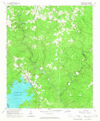
1964 Map of Parksville
USGS Topo · Published 1967About this map
Parksville serves as the focal point for this survey of the South Carolina and Georgia borderlands, where the waters of the Clark Hill Reservoir meet the wooded reaches of the Sumter National Forest. The landscape is defined by the convergence of Stevens Creek and Turkey Creek, creating a complex network of drainage that once supported local industry at sites like Parks Mill. The area's social fabric is visible through its dispersed rural institutions, including Mims Sch No 2 and several community landmarks such as Mt Lebanon Ch and Rehoboth Ch. Transportation through these Piedmont hills was anchored by the Atlantic Coast Line RR, which cuts a diagonal path toward the reservoir. The map also records the U.S. Reservation Boundary and the McCormick and Edgefield county line, illustrating the administrative and topographic layers of the region in the mid-1960s.
Find a feature on this map
38 named features on this map. Tap any name to fly to it.
Don’t see what you’re looking for? This feature index may not catch every label — zoom into the map to look around manually.
Map Details
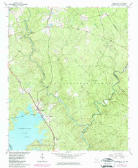
Editions of this 1964 Parksville Map
2 editions found
Other maps of this area

1892 · Mc Cormick
USGS Topo · 1:125,000

1912 · Mc Cormick
USGS Topo · 1:125,000

1920 · Clarks Hill
USGS Topo · 1:48,000

1921 · Clarks Hill
USGS Topo · 1:62,500

1921 · Appling
USGS Topo · 1:62,500

1941 · Clarks Hill
USGS Topo · 1:62,500

1942 · Clarks Hill
USGS Topo · 1:62,500

1943 · Appling
USGS Topo · 1:62,500

1953 · Athens
USGS Topo · 1:250,000

1958 · Athens
USGS Topo · 1:250,000