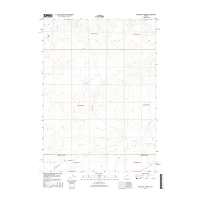
2015 Map of Parting of the Ways
USGS Topo · Published 2015About this map
California Mormon Rd and the Sublette Cutoff converge in the southwestern corner of this map, marking a significant historic junction in the westward migration landscape of Wyoming. This modern topographic survey by the U.S. Geological Survey preserves the routes of these historic trails as they traverse the high desert terrain of the Sublette and Sweetwater county line. The drainage of Dry Sandy Cr and Juel Cr defines the local topography, carving through a landscape characterized by isolated landmarks like the distinctive Squaw Teat to the northwest. Land use is evidenced by McCann Ranch Rd and infrastructure such as Williams Reservoir Number 2, which provide essential water management for the region’s ranching interests. The intersection of early pioneer pathways with contemporary ranching roads creates a clear record of the area's continued role as a corridor for travel and survival in a dry environment.
Find a feature on this map
17 named features on this map. Tap any name to fly to it.
Don’t see what you’re looking for? This feature index may not catch every label — zoom into the map to look around manually.
Map Details
Editions of this 2015 Parting of the Ways Map
This is the sole edition of this map. No revisions or reprints were ever made.
Other maps of this area

1955 · Lander
USGS Topo · 1:250,000

1958 · Lander
USGS Topo · 1:250,000

1958 · Parting of the Ways
USGS Topo · 1:62,500

1958 · Essex Mountain
USGS Topo · 1:62,500

1958 · Hay Meadow Reservoir
USGS Topo · 1:24,000

1958 · Tule Butte
USGS Topo · 1:24,000

1958 · Parting of the Ways
USGS Topo · 1:24,000

1961 · Lander
USGS Topo · 1:250,000

1968 · Eden Reservoir East
USGS Topo · 1:24,000

1969 · Leckie Reservoir
USGS Topo · 1:24,000