
Loading...
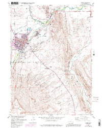
Loading map...1961 Map of Lander
USGS Topo · Published 1961About this map
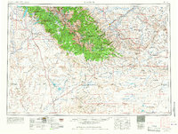
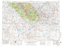
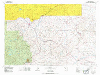
The Wind River Range dominates this mid-century survey, forming a massive natural barrier where the Continental Divide separates the Great Divide Basin from the high alpine forests. Near the southern end of the range, the historical ghosts of the gold rush era are visible in the labels for Atlantic City (Abandoned) and South Pass City (Abandoned), both located near the path of the legendary Oregon Trail.
Find a feature on this map
110 named features on this map. Tap any name to fly to it.
Don’t see what you’re looking for? This feature index may not catch every label — zoom into the map to look around manually.
Map Details
Date Portrayed1961
Date Published1961
PublisherU.S. Geological Survey
Map TypeTopographic
Scale1:250,000
Physical Dimensions29.1 x 22 inches
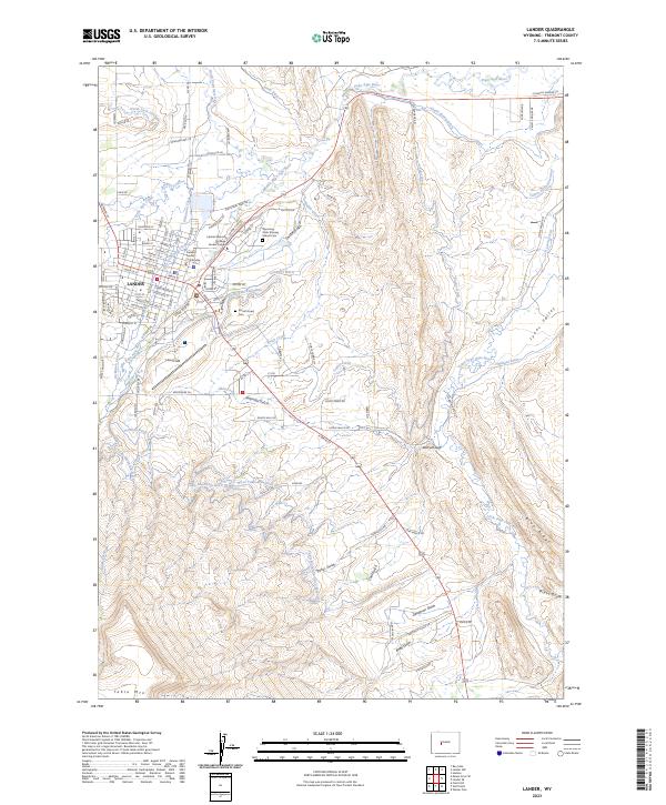
Editions of this 1961 Lander Map
2 editions found
Historical Maps of Lander Through Time
8 maps found

Featured Locations
Source Details
SourceU.S. Geological Survey
CopyrightPublic Domain