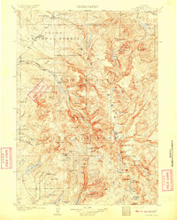
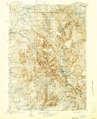
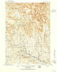
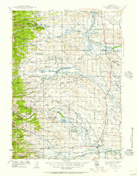
1909 Map of Fremont Peak
USGS Topo · Published 1909About this map
Fremont Peak towers over this section of the Wind River Range, where the early 20th-century landscape is defined by the Continental Divide and the headwaters of the Green River. Surveyed in 1906, the map documents a transition from wild high-altitude terrain to the early ranching outposts established in the valleys. Scattered cabins and homesteads such as McShirley's Ranch, Osborn's Ranch, and Lozier's Ranch mark the human footprint in an area otherwise dominated by massive peaks and glacial lakes. The presence of the Sawmill Ranger's Cabin and a Rangers Cabin within the Teton National Forest indicates the early management of these federal lands. Unique geological features, including a Natural Bridge near Clear Creek, are captured alongside historic routes like Union Pass, providing a window into the navigation of the Wyoming high country before modern infrastructure.
Find a feature on this map
101 named features on this map. Tap any name to fly to it.
Don’t see what you’re looking for? This feature index may not catch every label — zoom into the map to look around manually.
Map Details
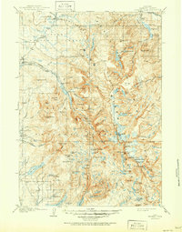
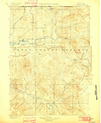
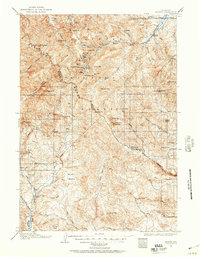
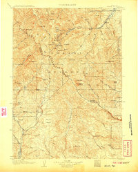
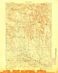
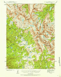
Editions of this 1909 Fremont Peak Map
6 editions found
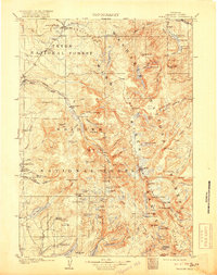
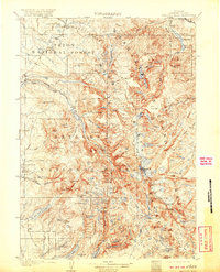
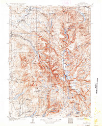
Other maps of this area
1902 · Mt Leidy
USGS Topo · 1:125,000
1904 · Kirwin
USGS Topo · 1:125,000
1905 · Younts Peak
USGS Topo · 1:125,000
1906 · Kirwin
USGS Topo · 1:125,000
1907 · Younts Peak
USGS Topo · 1:125,000

1907 · Gros Ventre
USGS Topo · 1:125,000

1910 · Gros Ventre
USGS Topo · 1:125,000
1938 · Mt Bonneville
USGS Topo · 1:62,500
1939 · Big Piney
USGS Topo · 1:125,000
1941 · Mt Bonneville
USGS Topo · 1:62,500