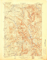
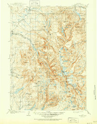
1909 Map of Fremont Peak
USGS Topo · Published 1919About this map
The Continental Divide carves a serpentine path through this high-altitude landscape, where the headwaters of the Green River emerge amidst some of the highest summits in the Wind River Range. Surveyed in 1906, the map documents a rugged frontier of cattle ranching and early forestry, with isolated outposts like Petre's Ranch Kendall PO and Luman's Ranch providing rare points of human settlement. The intersection of the Teton, Wind River, and Bridger National Forests underscores the regional importance of these mountains for timber and watershed protection during the early twentieth century.
Find a feature on this map
114 named features on this map. Tap any name to fly to it.
Don’t see what you’re looking for? This feature index may not catch every label — zoom into the map to look around manually.
Map Details
Editions of this 1909 Fremont Peak Map
6 editions found
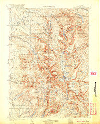
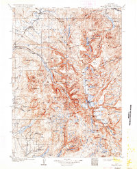
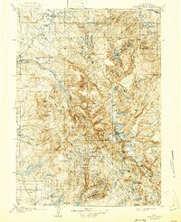
Other maps of this area

1902 · Mt Leidy
USGS Topo · 1:125,000

1904 · Kirwin
USGS Topo · 1:125,000

1905 · Younts Peak
USGS Topo · 1:125,000

1906 · Kirwin
USGS Topo · 1:125,000

1907 · Younts Peak
USGS Topo · 1:125,000

1907 · Gros Ventre
USGS Topo · 1:125,000

1909 · Fremont Peak
USGS Topo · 1:125,000

1910 · Gros Ventre
USGS Topo · 1:125,000

1938 · Mt Bonneville
USGS Topo · 1:62,500

1939 · Big Piney
USGS Topo · 1:125,000