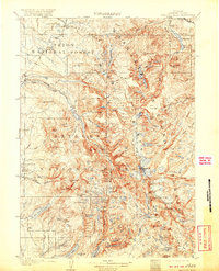
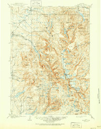
1909 Map of Fremont Peak
USGS Topo · Published 1920About this map
The Continental Divide zigzags across this high-altitude landscape, defining the watershed in the early twentieth century within the Teton National Forest and Bridger National Forest. The map documents a sparse but vital network of early homesteads and administrative outposts, such as Woolery's Ranch and the Sawmill Rangers Cabin, alongside the Petre's Ranch Kendall PO. While the terrain is dominated by peaks like Fremont Peak and Gannett Pk, there are signs of localized resource extraction, notably a solitary Coal Mine near Little Flattop Mtn. The hydrology is exceptionally detailed, showing the glacial origins of the New Fork River and high-basin lakes like Klondike Lake and Island Lake. This survey provides a primary record of the trail-and-ranch economy before the era of modern development, noting landmarks like the Natural Bridge and Union Pass that served as essential transit points through the mountains.
Find a feature on this map
104 named features on this map. Tap any name to fly to it.
Don’t see what you’re looking for? This feature index may not catch every label — zoom into the map to look around manually.
Map Details
Editions of this 1909 Fremont Peak Map
6 editions found
Other maps of this area

1902 · Mt Leidy
USGS Topo · 1:125,000

1904 · Kirwin
USGS Topo · 1:125,000

1905 · Younts Peak
USGS Topo · 1:125,000

1906 · Kirwin
USGS Topo · 1:125,000

1907 · Younts Peak
USGS Topo · 1:125,000

1907 · Gros Ventre
USGS Topo · 1:125,000

1909 · Fremont Peak
USGS Topo · 1:125,000

1910 · Gros Ventre
USGS Topo · 1:125,000

1938 · Mt Bonneville
USGS Topo · 1:62,500

1939 · Big Piney
USGS Topo · 1:125,000