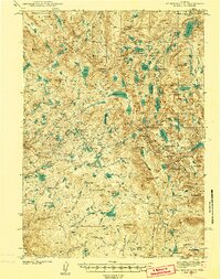
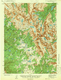
1941 Map of Mt Bonneville
USGS Topo · Published 1941About this map
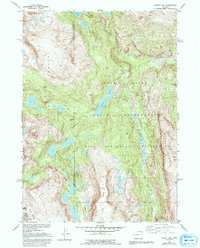
The Continental Divide winds through the heart of the Wind River Range in this 1930s survey, marking a complex landscape of glacial lakes and high alpine peaks. Surveyed by T. F. Murphy and S. C. Kain, the topography centers on Mt Bonneville and Mt Geikie, where the drainage separates toward the North Fork Wind River and the various forks of the Silver Creek system. Early backcountry infrastructure is visible through remote outposts like the South Fork Guard Sta and the John Day Cabin, alongside a network of high-altitude routes including the High Line Trail and Whisky Trail. The map documents a pristine era for the Washakie National Forest, showing numerous named water bodies such as Lake Solitude and Pyramid Lake before modern recreational expansion.
Find a feature on this map
105 named features on this map. Tap any name to fly to it.
Don’t see what you’re looking for? This feature index may not catch every label — zoom into the map to look around manually.
Map Details
Editions of this 1941 Mt Bonneville Map
This is the sole edition of this map. No revisions or reprints were ever made.
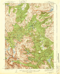
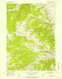
Other maps of this area
1909 · Fremont Peak
USGS Topo · 1:125,000
1937 · Moccasin Lake
USGS Topo · 1:48,000
1938 · Mt Bonneville
USGS Topo · 1:62,500
1942 · Mt Bonneville
USGS Topo · 1:62,500
1943 · Moccasin Lake
USGS Topo · 1:62,500
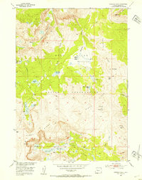
1952 · Paradise Basin
USGS Topo · 1:24,000
1952 · St. Lawrence Basin
USGS Topo · 1:24,000
1952 · Alpine Lake
USGS Topo · 1:24,000

1955 · Thermopolis
USGS Topo · 1:250,000

1955 · Lander
USGS Topo · 1:250,000