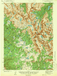
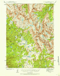
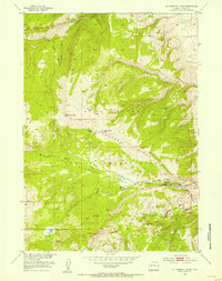
1942 Map of Mt Bonneville
USGS Topo · Published 1942About this map
Mt Bonneville and the surrounding peaks of the Washakie National Forest dominate this 1930s-era survey of the high Wyoming wilderness. The landscape is defined by the Continental Divide, which separates the drainage basins and provides the backbone for the Continental Divide Trail. This map captures a moment before modern recreation infrastructure, when access was limited to backcountry routes like the Scab Creek Trail and the Washakie Trail.
Find a feature on this map
93 named features on this map. Tap any name to fly to it.
Don’t see what you’re looking for? This feature index may not catch every label — zoom into the map to look around manually.
Map Details
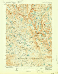
Editions of this 1942 Mt Bonneville Map
2 editions found
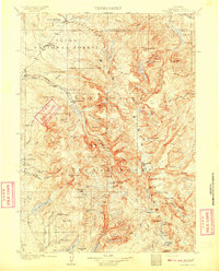
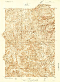
Other maps of this area
1909 · Fremont Peak
USGS Topo · 1:125,000
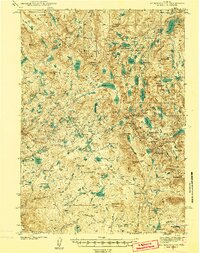
1937 · Moccasin Lake
USGS Topo · 1:48,000
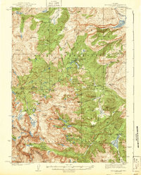
1938 · Mt Bonneville
USGS Topo · 1:62,500
1941 · Mt Bonneville
USGS Topo · 1:62,500
1943 · Moccasin Lake
USGS Topo · 1:62,500
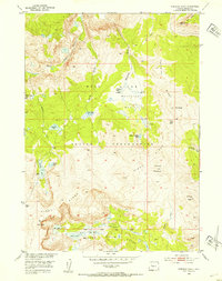
1952 · Paradise Basin
USGS Topo · 1:24,000
1952 · St. Lawrence Basin
USGS Topo · 1:24,000
1952 · Alpine Lake
USGS Topo · 1:24,000

1955 · Thermopolis
USGS Topo · 1:250,000

1955 · Lander
USGS Topo · 1:250,000