
1952 Map of Paradise Basin
USGS Topo · Published 1954About this map
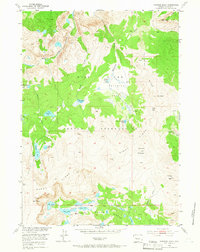
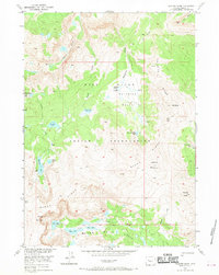
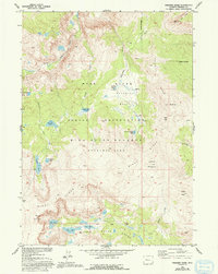
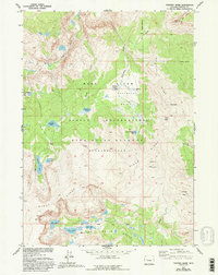
Wind River Reservation lands dominate this mid-century survey of the high Wyoming backcountry. The topography is defined by the sharp elevations of Wind River Ridge and Bull Ridge, which hem in a complex alpine drainage system. Water flows through a series of glacier-fed basins, most notably Paradise Basin, where a string of high-altitude lakes including Paradise Lakes, Lydle Lake, and Upper Paradise Lake are connected by the descent of Paradise Creek.
Find a feature on this map
34 named features on this map. Tap any name to fly to it.
Don’t see what you’re looking for? This feature index may not catch every label — zoom into the map to look around manually.
Map Details
Editions of this 1952 Paradise Basin Map
5 editions found
Other maps of this area

1937 · Moccasin Lake
USGS Topo · 1:48,000

1938 · Mt Bonneville
USGS Topo · 1:62,500

1941 · Mt Bonneville
USGS Topo · 1:62,500

1942 · Mt Bonneville
USGS Topo · 1:62,500

1943 · Moccasin Lake
USGS Topo · 1:62,500

1952 · Bob Lakes
USGS Topo · 1:24,000

1952 · Bull Lake West
USGS Topo · 1:24,000

1952 · Kirkland Park
USGS Topo · 1:24,000

1952 · St. Lawrence Basin
USGS Topo · 1:24,000

1952 · Alpine Lake
USGS Topo · 1:24,000