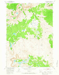
1952 Map of Paradise Basin
USGS Topo · Published 1966About this map
The Wind River Indian Reservation dominates this mid-century topographic study, which captures the high-altitude hydrology and peaks of the Wind River Range. The landscape is defined by its glacial basins and complex drainage systems, most notably within Paradise Basin and along the course of Bull Lake Creek. This period of mapping reflects the Department of the Interior's post-war focus on the Missouri River Basin development, meticulously documenting the alpine water resources found in Paradise Lakes, Lydle Lake, and Steamboat Lake. Significant elevations like Lookout Mountain and Tybo Peak provide a clear view of the area's geological structure, including the prominent Windy Ridge and Bull Ridge. These features collectively illustrate a wilderness environment at a time when aerial photogrammetry was refining our understanding of the American West.
Find a feature on this map
32 named features on this map. Tap any name to fly to it.
Don’t see what you’re looking for? This feature index may not catch every label — zoom into the map to look around manually.
Map Details
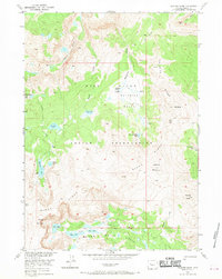
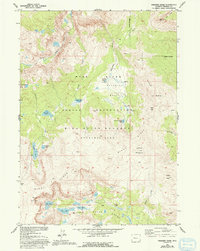
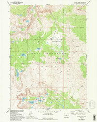
Editions of this 1952 Paradise Basin Map
5 editions found
Other maps of this area

1937 · Moccasin Lake
USGS Topo · 1:48,000

1938 · Mt Bonneville
USGS Topo · 1:62,500

1941 · Mt Bonneville
USGS Topo · 1:62,500

1942 · Mt Bonneville
USGS Topo · 1:62,500

1943 · Moccasin Lake
USGS Topo · 1:62,500

1952 · Bob Lakes
USGS Topo · 1:24,000

1952 · Bull Lake West
USGS Topo · 1:24,000

1952 · Kirkland Park
USGS Topo · 1:24,000

1952 · Paradise Basin
USGS Topo · 1:24,000

1952 · St. Lawrence Basin
USGS Topo · 1:24,000