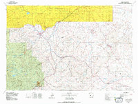
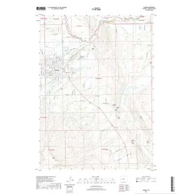
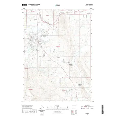
1961 Map of Lander
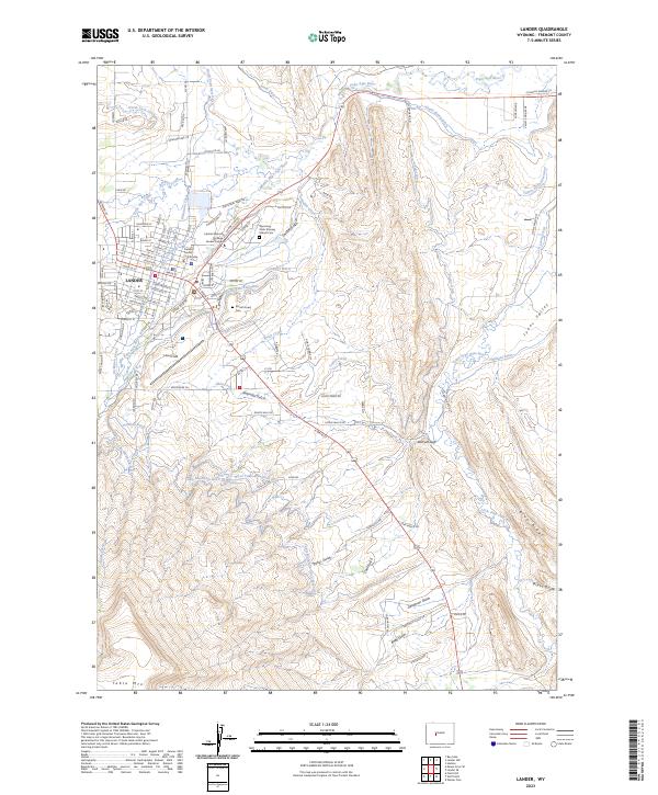
USGS Topo · Published 1967About this map
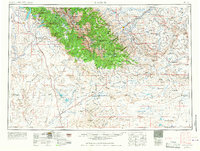
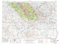
Lander serves as the gateway to the high peaks of the Wind River Range, where the Continental Divide winds through the Shoshone National Forest and Bridger National Forest. The landscape transitions from the high alpine lakes like Boulder Lake and Fremont Lake to the arid expanses of the Great Divide Basin and the Red Desert Country to the south. This transition reveals the historical pathways of westward migration, with the Oregon Trail and its various branches, including the Lander Cutoff and Seminoe Cutoff, etched across the high desert floor.
Find a feature on this map
183 named features on this map. Tap any name to fly to it.
Don’t see what you’re looking for? This feature index may not catch every label — zoom into the map to look around manually.
Map Details
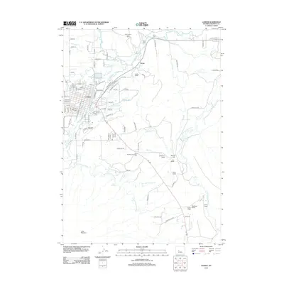
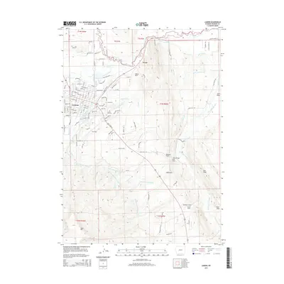
Editions of this 1961 Lander Map
2 editions found

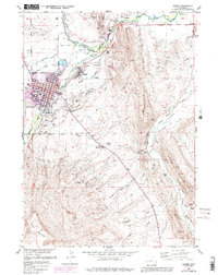
Historical Maps of Lander Through Time
12 maps found
1952 Lander
Fremont County, WY
1955 Lander
Fremont County, WY

1958 Lander
Fremont County, WY
1960 Lander
Fremont County, WY
1961 Lander
Fremont County, WY
1978 Lander
Fremont County, WY
1978 Lander
Fremont County, WY
2012 Lander
Fremont County, WY
2015 Lander
Fremont County, WY
2017 Lander
Fremont County, WY
2021 Lander
Fremont County, WY
2023 Lander
Fremont County, WY