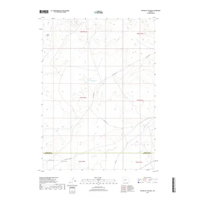
2018 Map of Parting of the Ways
USGS Topo · Published 2018About this map
Parting of the Ways marks a significant historical junction in the high desert of the Wyoming basin, where the California - Mormon Rd splits to offer travelers different routes westward. This 2018 survey documents the enduring physical presence of the Sublette Cutoff, a trail bypass used by emigrants seeking a more direct, albeit water-scarce, path toward the Pacific. The landscape is defined by its intermittent drainage systems, including Dry Sandy Creek, Juel Creek, and Little Sandy Creek, which converge in a region of sparse human development. Ranching infrastructure like McCann Ranch Rd and the Williams Reservoir Number 2 highlights the modern management of this arid environment. Situated near the border of Sublette and Sweetwater counties, the map preserves the alignment of these historic migration corridors relative to local landmarks such as the Squaw Teat promontory.
Find a feature on this map
18 named features on this map. Tap any name to fly to it.
Don’t see what you’re looking for? This feature index may not catch every label — zoom into the map to look around manually.
Map Details
Editions of this 2018 Parting of the Ways Map
This is the sole edition of this map. No revisions or reprints were ever made.
Other maps of this area

1955 · Lander
USGS Topo · 1:250,000

1958 · Lander
USGS Topo · 1:250,000

1958 · Parting of the Ways
USGS Topo · 1:62,500

1958 · Essex Mountain
USGS Topo · 1:62,500

1958 · Hay Meadow Reservoir
USGS Topo · 1:24,000

1958 · Tule Butte
USGS Topo · 1:24,000

1958 · Parting of the Ways
USGS Topo · 1:24,000

1961 · Lander
USGS Topo · 1:250,000

1968 · Eden Reservoir East
USGS Topo · 1:24,000

1969 · Leckie Reservoir
USGS Topo · 1:24,000