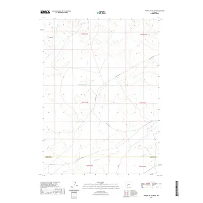
2021 Map of Parting of the Ways
USGS Topo · Published 2021About this map
Historic migration corridors define this arid high-desert landscape on the boundary between Sublette and Sweetwater counties. The California - Mormon Rd and the Sublette Cutoff traverse the southern portion of the sheet, tracing the path of nineteenth-century emigrant trails through a region characterized by ephemeral watercourses. These routes follow the natural drainage patterns of Dry Sandy Cr and N Pacific Cr, reflecting the vital importance of reliable water sources for travelers in this open country.
Find a feature on this map
18 named features on this map. Tap any name to fly to it.
Don’t see what you’re looking for? This feature index may not catch every label — zoom into the map to look around manually.
Map Details
Editions of this 2021 Parting of the Ways Map
This is the sole edition of this map. No revisions or reprints were ever made.
Other maps of this area

1955 · Lander
USGS Topo · 1:250,000

1958 · Lander
USGS Topo · 1:250,000

1958 · Parting of the Ways
USGS Topo · 1:62,500

1958 · Essex Mountain
USGS Topo · 1:62,500

1958 · Hay Meadow Reservoir
USGS Topo · 1:24,000

1958 · Tule Butte
USGS Topo · 1:24,000

1958 · Parting of the Ways
USGS Topo · 1:24,000

1961 · Lander
USGS Topo · 1:250,000

1968 · Eden Reservoir East
USGS Topo · 1:24,000

1969 · Leckie Reservoir
USGS Topo · 1:24,000