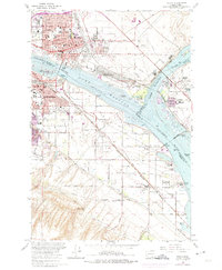
1964 Map of Pasco
USGS Topo · Published 1975About this map
The confluence of the Columbia River and Snake River anchors this 1964 survey, highlighting the mid-century industrial and logistical growth of Pasco and Kennewick. The landscape is defined by the Lake Wallula reservoir, with underwater contours provided by the Army Corps of Engineers. Significant urban expansion is noted in purple, reflecting the development of the Port of Pasco Industrial Park and the sprawling residential blocks of South Highlands.
Find a feature on this map
85 named features on this map. Tap any name to fly to it.
Don’t see what you’re looking for? This feature index may not catch every label — zoom into the map to look around manually.
Map Details
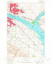
Editions of this 1964 Pasco Map
2 editions found
Other maps of this area

1915 · Wallulah
USGS Topo · 1:96,000

1917 · Pasco
USGS Topo · 1:125,000

1918 · Wallula
USGS Topo · 1:125,000

1953 · Walla Walla
USGS Topo · 1:250,000

1958 · Walla Walla
USGS Topo · 1:250,000

1964 · Wallula
USGS Topo · 1:24,000

1964 · Levey SW
USGS Topo · 1:24,000

1964 · Humorist
USGS Topo · 1:24,000
1964 · Johnson Butte
USGS Topo · 1:24,000
1964 · Nine Canyon
USGS Topo · 1:24,000