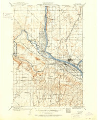
1917 Map of Pasco
USGS Topo · Published 1951About this map
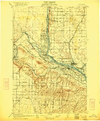
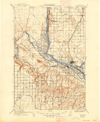
Pasco, Kennewick, and Richland form a nascent hub at the confluence of the Columbia River, Snake River, and Yakima River during the early twentieth century. This era is defined by the expansion of irrigation and rail infrastructure, as seen in the Horn Rapids Ditch and the crisscrossing tracks of the Northern Pacific and the Oregon-Washington Railroad and Navigation Company. The landscape reveals a network of rural school districts, including Baxter School, Mountain View School, and Prosperity School, alongside isolated ranching outposts like Owen Ranch and Farnsworth Ranch. To the south, the Horse Heaven Hills are deeply carved by numerous canyons such as Webber Canyon and Zintel Canyon, punctuated by early water sources like Amon Wells and Bowden Spgs. This survey provides a rare look at the Tri-Cities region before mid-century industrialization and dam projects altered the riverfronts.
Find a feature on this map
78 named features on this map. Tap any name to fly to it.
Don’t see what you’re looking for? This feature index may not catch every label — zoom into the map to look around manually.
Map Details
Editions of this 1917 Pasco Map
4 editions found
Other maps of this area

1906 · Blalock Island
USGS Topo · 1:125,000

1908 · Blalock Island
USGS Topo · 1:125,000

1908 · Umatilla
USGS Topo · 1:125,000

1915 · Wallulah
USGS Topo · 1:96,000

1915 · Prosser
USGS Topo · 1:125,000

1916 · Connell
USGS Topo · 1:125,000

1916 · Coyote Rapids
USGS Topo · 1:62,500

1917 · Pasco
USGS Topo · 1:125,000

1917 · Prosser
USGS Topo · 1:125,000

1918 · Connell
USGS Topo · 1:125,000