
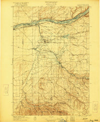
1908 Map of Umatilla
USGS Topo · Published 1908About this map
Umatilla Rapids and Devils Bend Rapids churn in the Columbia River on this 1908 survey, marking a critical transit corridor before the major twentieth-century dam projects altered the river's flow. The landscape reflects an era of early irrigation and rail dominance, with the Furnish Ditch and Cold Springs Reservoir supporting emerging agricultural hubs like Hermiston and Echo. The transportation network is highly detailed, showing the Spokane Portland and Seattle Railway hugging the northern bank while the Oregon-Washington Railroad and Navigation Company tracks follow the Umatilla River valley. To the south, the terrain rises into the Sarvis Buttes and is dissected by numerous canyons such as Slusher Canyon and Croy Canyon. The presence of the old Stage Road and isolated landmarks like the County Well provides a look at the rural infrastructure that sustained the region's scattered settlements like Pine City and Galloway.
Find a feature on this map
56 named features on this map. Tap any name to fly to it.
Don’t see what you’re looking for? This feature index may not catch every label — zoom into the map to look around manually.
Map Details
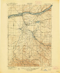
Editions of this 1908 Umatilla Map
3 editions found
Other maps of this area

1906 · Blalock Island
USGS Topo · 1:125,000

1908 · Blalock Island
USGS Topo · 1:125,000

1915 · Wallulah
USGS Topo · 1:96,000

1915 · Prosser
USGS Topo · 1:125,000

1917 · Pasco
USGS Topo · 1:125,000

1917 · Prosser
USGS Topo · 1:125,000

1918 · Wallula
USGS Topo · 1:125,000

1935 · Pendleton
USGS Topo · 1:125,000

1953 · Pendleton
USGS Topo · 1:250,000

1953 · Walla Walla
USGS Topo · 1:250,000