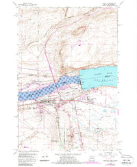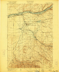
1908 Map of Umatilla
USGS Topo · Published 1921About this map
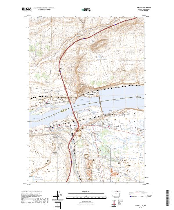
The Columbia River forms the northern boundary of this early twentieth-century landscape, a region defined by the intersection of major rail lines and nascent irrigation systems. The presence of the Oregon Land and Water Co Canal and the Furnish Ditch illustrates the era's focus on transforming the arid basin into productive farmland. Vital transit corridors follow the river and its tributaries, including the Oregon Washington Railroad and Navigation Co and the Spokane Portland and Seattle Ry. Inland, the Cold Springs Bird Reservation sits adjacent to the Cold Springs Reservoir, while the established settlements of Hermiston, Umatilla, and Echo serve as anchors for the surrounding ranching and agricultural communities. To the south, the terrain rises into the Service Buttes and is dissected by numerous drainages like Butter Creek and Service Canyon, where isolated outposts such as Pine City and Galloway are located.
Find a feature on this map
49 named features on this map. Tap any name to fly to it.
Don’t see what you’re looking for? This feature index may not catch every label — zoom into the map to look around manually.
Map Details
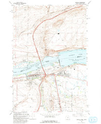
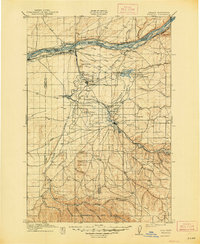
Editions of this 1908 Umatilla Map
3 editions found

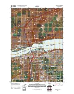
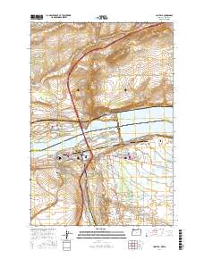
Historical Maps of Hermiston Through Time
8 maps found