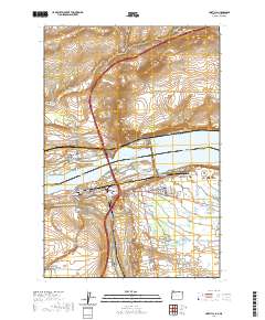
1962 Map of Umatilla
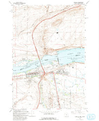
USGS Topo · Published 1987About this map
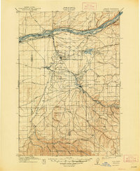
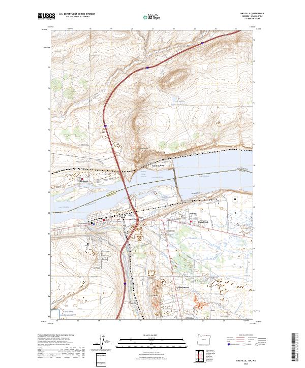
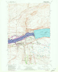
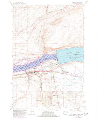
McNary Dam stands as the central engineered landmark of this mid-century Columbia River landscape, regulating the waters between Lake Wallula and Lake Umatilla. This survey captures the complex intersection of hydroelectric power, irrigation, and transport, with the Umatilla River meeting the Columbia near the established town of Umatilla. The region's industrial and agricultural dependence is evident in the network of canals, gravel pits, and the massive Umatilla Ordnance Depot visible in the southwest. Transport corridors are well-defined, showing the Burlington Northern and Union Pacific railroads flanking the river, alongside the Pacific Highway and the Umatilla Toll Bridge connecting Oregon to Washington. Smaller communities like Power City, McNary, and Charlestown cluster near the dam and riverbanks, reflecting the mid-20th-century growth driven by the Powerhouse and nearby irrigation projects like the Threemile Falls Diversion Works.
Find a feature on this map
34 named features on this map. Tap any name to fly to it.
Don’t see what you’re looking for? This feature index may not catch every label — zoom into the map to look around manually.
Map Details
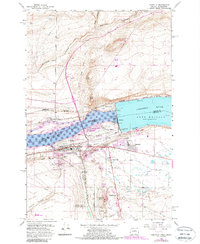
Editions of this 1962 Umatilla Map
4 editions found
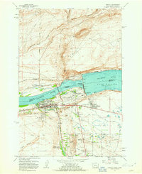
Historical Maps of Umatilla Through Time
8 maps found