
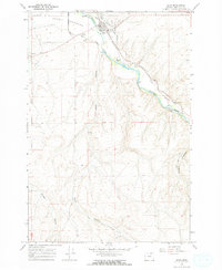
1962 Map of Hermiston
USGS Topo · Published 1963About this map
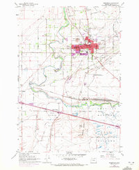
Hermiston serves as the focal point of this high-desert agricultural landscape, where the Umatilla River and an intricate network of irrigation projects like the Maxwell Canal and Dillon Canal transformed the arid terrain. The presence of the Oregon State University Agriculture Experiment Station and the State Game Farm underscores the area's mid-century role as a center for regional land management and research. Transportation and infrastructure are heavily defined by the Union Pacific railroad, which converges at Hinkle south of the city, a major junction point featuring significant water and storage infrastructure. Local life in the early 1960s is evidenced by numerous schools such as Jennie Sunset Sch and West Park Sch, while named crossroads like Bucks Corners and Westland mark the transition from the growing urban center to the wide-reaching Umatilla Meadows.
Find a feature on this map
65 named features on this map. Tap any name to fly to it.
Don’t see what you’re looking for? This feature index may not catch every label — zoom into the map to look around manually.
Map Details
Editions of this 1962 Hermiston Map
4 editions found
Other maps of this area

1908 · Umatilla
USGS Topo · 1:125,000

1953 · Pendleton
USGS Topo · 1:250,000

1956 · Pendleton
USGS Topo · 1:250,000

1962 · Hat Rock
USGS Topo · 1:24,000

1962 · Stanfield
USGS Topo · 1:24,000

1962 · Ordnance
USGS Topo · 1:24,000
1962 · Irrigon
USGS Topo · 1:24,000

1962 · Umatilla
USGS Topo · 1:24,000

1968 · Service Buttes NW
USGS Topo · 1:24,000
1968 · Echo
USGS Topo · 1:24,000