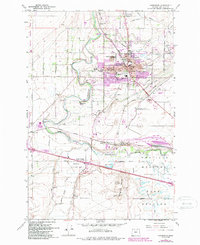
1962 Map of Hermiston
USGS Topo · Published 1987About this map
The Umatilla River cuts a winding path through this high desert landscape, anchoring a region defined by extensive irrigation and major transportation hubs. The city of Hermiston serves as the central hub, surrounded by a complex network of man-made waterways including the Maxwell Canal, Feed Canal, and A Canal. These diversions support significant agricultural operations like the Oregon State University Agriculture Experiment Station and the State Game Farm.
Find a feature on this map
70 named features on this map. Tap any name to fly to it.
Don’t see what you’re looking for? This feature index may not catch every label — zoom into the map to look around manually.
Map Details
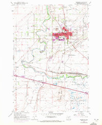
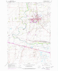
Editions of this 1962 Hermiston Map
4 editions found
Other maps of this area

1908 · Umatilla
USGS Topo · 1:125,000

1953 · Pendleton
USGS Topo · 1:250,000

1956 · Pendleton
USGS Topo · 1:250,000

1962 · Hat Rock
USGS Topo · 1:24,000

1962 · Stanfield
USGS Topo · 1:24,000

1962 · Ordnance
USGS Topo · 1:24,000

1962 · Hermiston
USGS Topo · 1:24,000
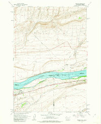
1962 · Irrigon
USGS Topo · 1:24,000

1962 · Umatilla
USGS Topo · 1:24,000

1968 · Service Buttes NW
USGS Topo · 1:24,000