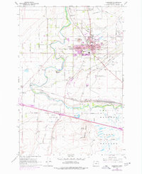
1962 Map of Hermiston
USGS Topo · Published 1978About this map
Hermiston emerges as a vital agricultural and transportation hub along the Umatilla River in this detailed survey, field-checked in the early 1960s. The landscape is defined by an intricate network of irrigation ditches and canals feeding the surrounding Meadows, supporting the State Game Farm and the Oregon State University Agriculture Experiment Station. Evidence of mid-century growth is visible in the suburban expansion around West Park Sch and the High Sch, while the Union Pacific rail infrastructure anchors the southern landscape. The massive Hinkle Yards and the junction at Hinkle illustrate the region's importance as a freight corridor. Prominent geological markers like Hermiston Butte and Emigrant Buttes rise above the basin, overlooking smaller settlements such as Westland and Bucks Corners. From the industrial Gravel Pits to the quiet waters of Manns Pond, the map documents a community transitioning between its agrarian roots and its role as a regional center.
Find a feature on this map
60 named features on this map. Tap any name to fly to it.
Don’t see what you’re looking for? This feature index may not catch every label — zoom into the map to look around manually.
Map Details
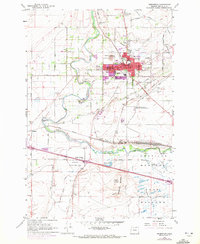
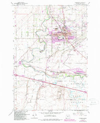
Editions of this 1962 Hermiston Map
4 editions found
Other maps of this area

1908 · Umatilla
USGS Topo · 1:125,000

1953 · Pendleton
USGS Topo · 1:250,000

1956 · Pendleton
USGS Topo · 1:250,000

1962 · Hat Rock
USGS Topo · 1:24,000

1962 · Stanfield
USGS Topo · 1:24,000

1962 · Ordnance
USGS Topo · 1:24,000

1962 · Hermiston
USGS Topo · 1:24,000
1962 · Irrigon
USGS Topo · 1:24,000

1962 · Umatilla
USGS Topo · 1:24,000

1968 · Service Buttes NW
USGS Topo · 1:24,000