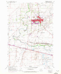
1962 Map of Hermiston
USGS Topo · Published 1972About this map
The Umatilla River defines the agrarian and industrial landscape of this northern Oregon region, where the Union Pacific railroad establishes a massive presence at the Hinkle Yards. The town of Hermiston serves as the central hub, showing development around landmarks like the Fairgrounds, Hospital, and High School, alongside the smaller cluster at Cornell Place. This 1970 revision highlights the area's transition into a more complex infrastructure, noting the Hermiston Airport and the Radio Facility (KOHU).
Find a feature on this map
55 named features on this map. Tap any name to fly to it.
Don’t see what you’re looking for? This feature index may not catch every label — zoom into the map to look around manually.
Map Details
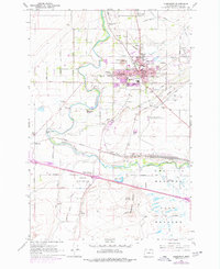
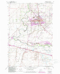
Editions of this 1962 Hermiston Map
4 editions found
Other maps of this area

1908 · Umatilla
USGS Topo · 1:125,000

1953 · Pendleton
USGS Topo · 1:250,000

1956 · Pendleton
USGS Topo · 1:250,000

1962 · Hat Rock
USGS Topo · 1:24,000

1962 · Stanfield
USGS Topo · 1:24,000

1962 · Ordnance
USGS Topo · 1:24,000

1962 · Hermiston
USGS Topo · 1:24,000
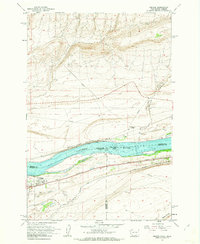
1962 · Irrigon
USGS Topo · 1:24,000

1962 · Umatilla
USGS Topo · 1:24,000

1968 · Service Buttes NW
USGS Topo · 1:24,000