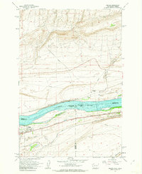
1962 Map of Irrigon
USGS Topo · Published 1963About this map
Columbia River commerce and reclamation efforts define this early 1960s landscape at the boundary of Oregon and Washington. The town of Irrigon is the central hub of activity, where the Union Pacific railroad runs parallel to the water's edge and the local Cem and Houghton Sch serve the growing riverside community. Across the river on the Washington side, the Spokane Portland and Seattle line passes the small settlement of Bargar near the river's Devils Bend Rapids.
Find a feature on this map
23 named features on this map. Tap any name to fly to it.
Don’t see what you’re looking for? This feature index may not catch every label — zoom into the map to look around manually.
Map Details
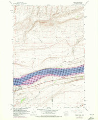
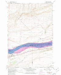
Editions of this 1962 Irrigon Map
3 editions found
Other maps of this area

1906 · Blalock Island
USGS Topo · 1:125,000

1908 · Blalock Island
USGS Topo · 1:125,000

1908 · Umatilla
USGS Topo · 1:125,000

1915 · Prosser
USGS Topo · 1:125,000

1917 · Pasco
USGS Topo · 1:125,000

1917 · Prosser
USGS Topo · 1:125,000

1953 · Pendleton
USGS Topo · 1:250,000

1953 · Walla Walla
USGS Topo · 1:250,000

1956 · Pendleton
USGS Topo · 1:250,000

1958 · Walla Walla
USGS Topo · 1:250,000